Georgia's Trusted Local Source for Waterfall Explorations Since 2018

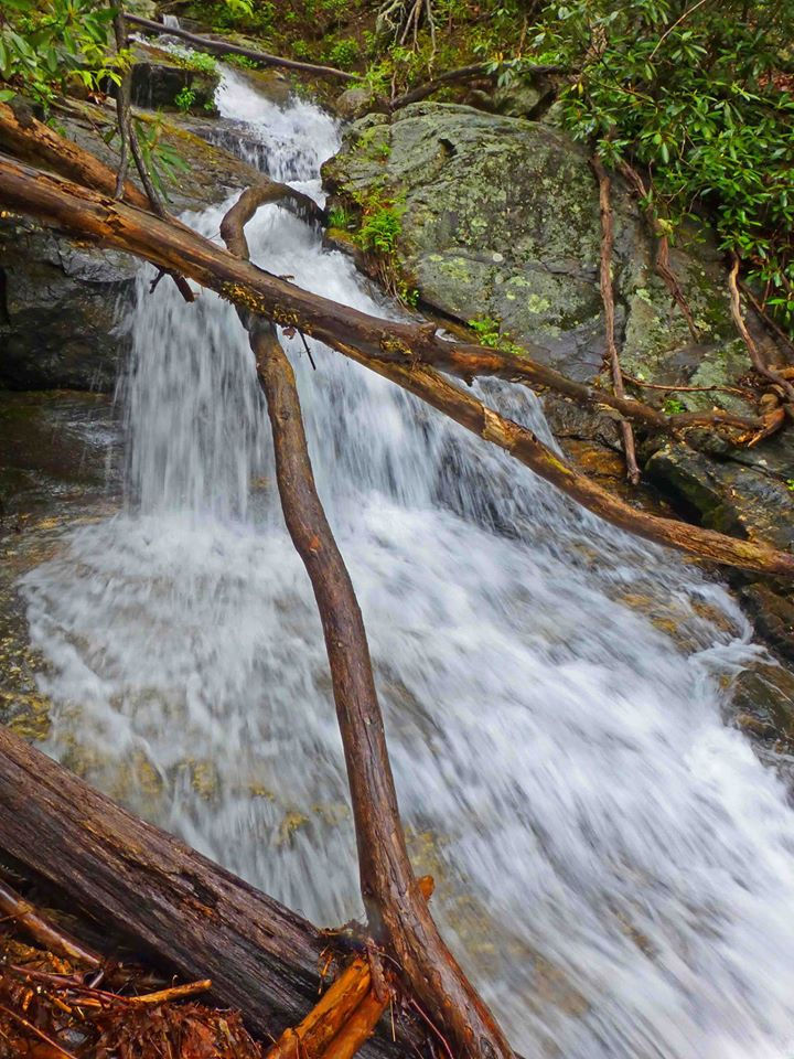

Goliath Falls
Chestatee Wildlife Management Area
Lumpkin County
Dahlonega, GA
GPS Location:
34.73024, -83.92067
Waterfall Height:
200 feet
Goliath Falls is a series of cluttered waterfalls dropping steeply down the upper reaches of Frogtown Creek, just below US Hwy 19/129 near Neels Gap. With a total height of 200 feet, the waterfall features multiple tiers - some less cluttered than others. The total continuous drop is quite long, and the waterfall can't be seen all at once. No trail exists to Goliath Falls. It's an extremely steep bushwhack down the mountainside, which is full of broken glass and rusty metal thrown down from the road. The waterfall is denoted on the original USGS topographic map for the area.
For detailed directions, see page 145 in Mark Ozboyd's "Waterfalls of Georgia" guidebook.

Upper tier, Goliath Falls. Photo credit: Greg Ford