Ahimsa Falls
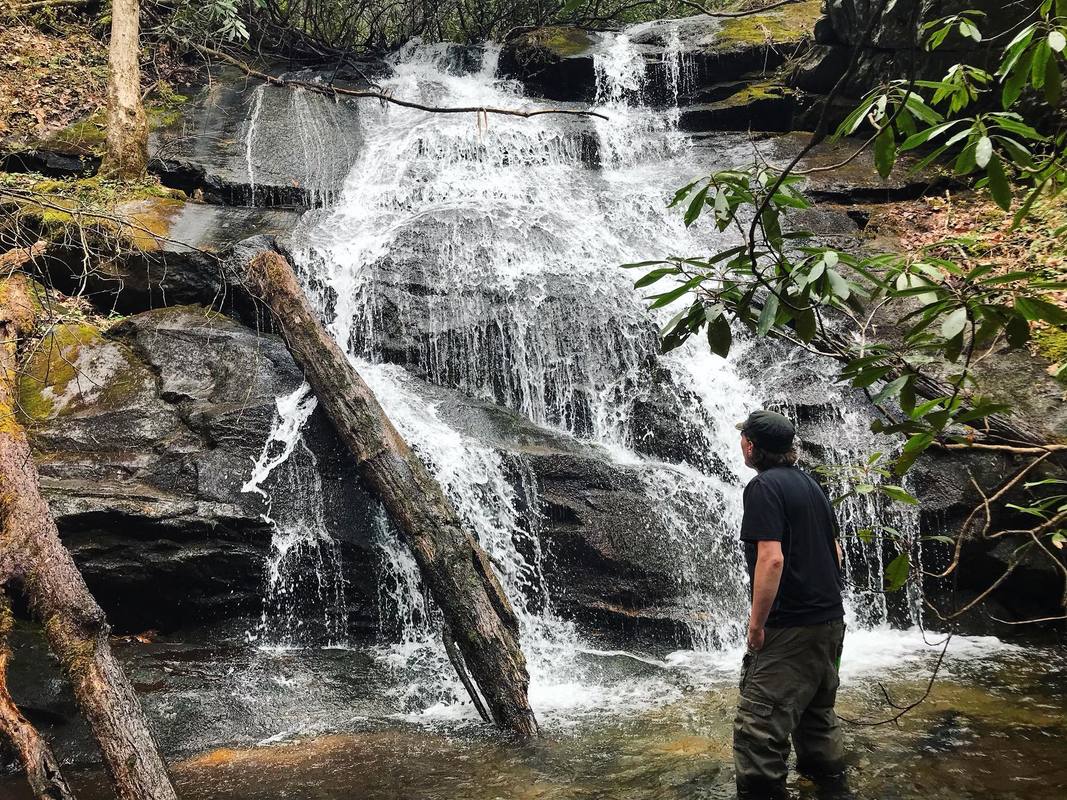
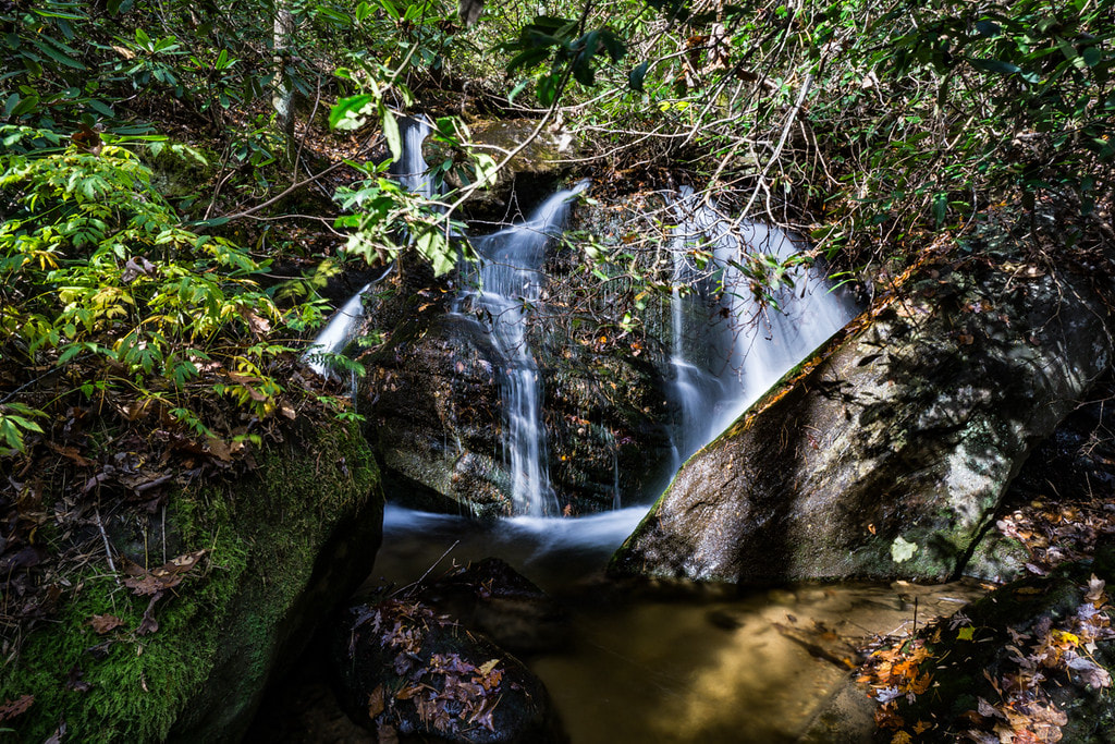
Lower section of Ahimsa Falls. Photo by Brandi Elliott
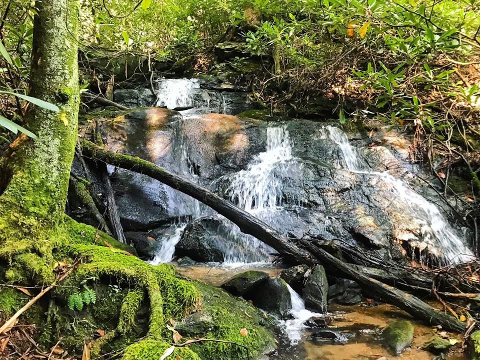
Waterfall Info: This is the only significant waterfall currently documented on the South Prong of the Left Fork Soquee River (this stream is labeled as South Prong Goshen Creek on some maps). It consists of two separate sections, each about 30 feet high. The lower section is more scenic than the upper one. I think there are significant undocumented waterfalls in the headwaters of South Prong. In addition, there are two small waterfalls on South Prong below Ahimsa Falls. At 34.788751, -83.651807 is a long series of cascades and cluttered drops (see photo below). Also, at 34.789054, -83.649423, there's a scenic sliding cascade about 12 feet high (see photo below).
NEW: There are two additional small waterfalls on a west tributary of South Prong - a 15-foot cascade at 34.788710, -83.653116, and a steep 40-foot slide at 34.787291, -83.656152. Both are low-flow and not very scenic, but they might make an okay side trip for someone going to Ahimsa Falls (hence it being included in this listing). See photos below.
Landowner: Chattahoochee National Forest (Tray Mountain Wilderness)
Height: 60 Feet
Type: Slide & Sheer Drop (Double-Tier)
County: Habersham
Access Info: This waterfall is accessed via a difficult bushwhack off the unofficial trail leading to Soquee River Falls. An old logging road initially leads up the South Prong watershed, but it veers away from the creek well below Ahimsa Falls.
Waterfall Location: 34.790912, -83.657780
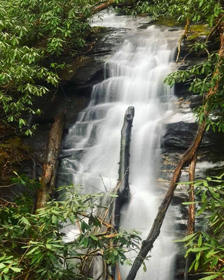
Upper section of Ahimsa Falls. Photo by Brandi Elliott
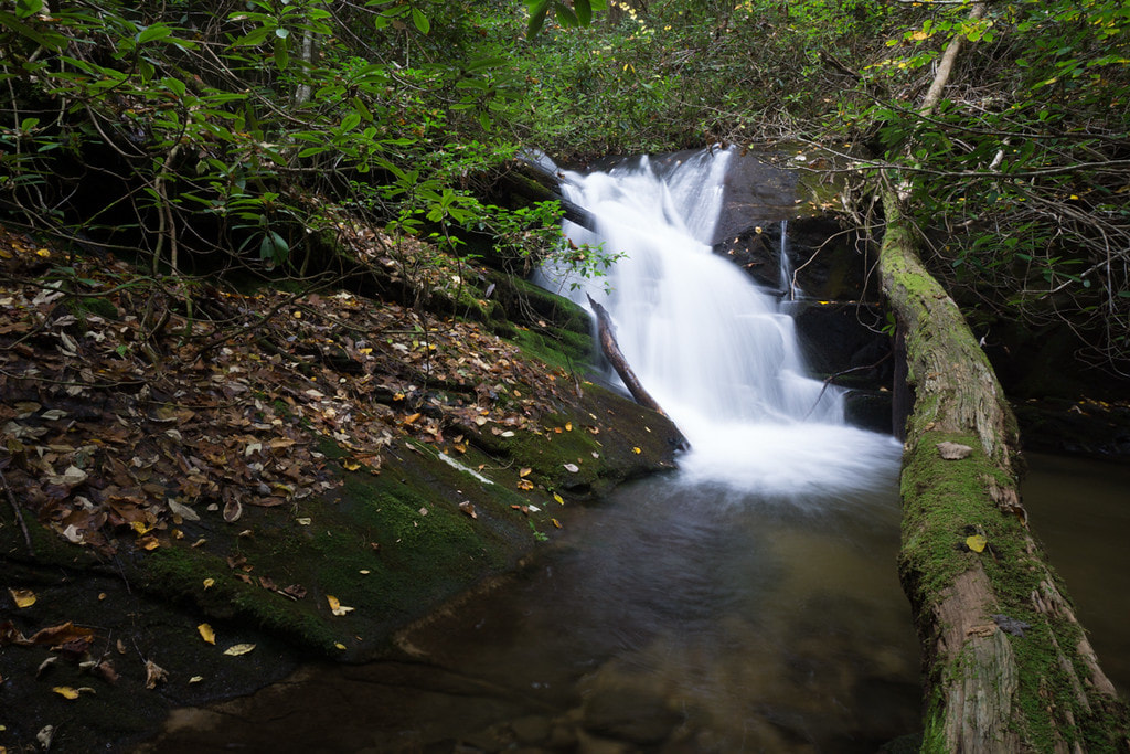
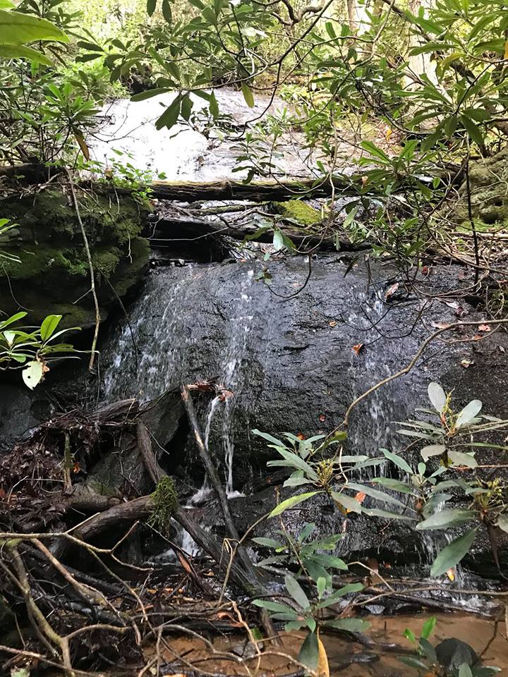
A small waterfall at the 2080-foot level on South Prong. Photo by Bernie Boyer
The lower of two small waterfalls on a west tributary of South Prong. Photo by Brandi Elliott
|
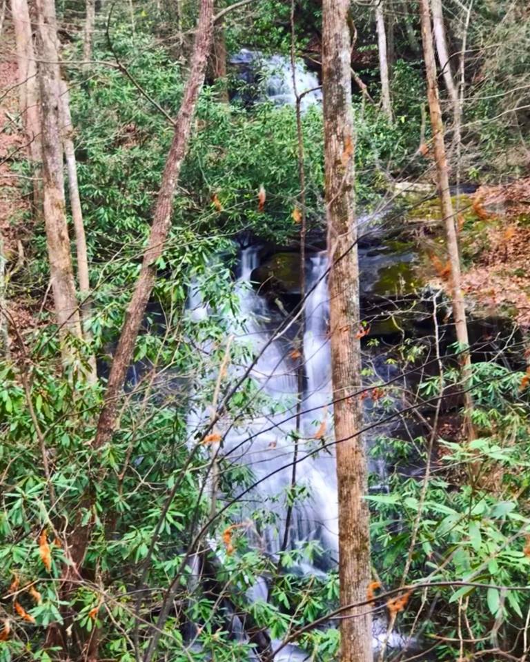
A wintertime view of both the lower and upper sections of Ahimsa Falls from the slope above. Photo by Brandi Elliott
A small waterfall at the 2180-foot level on South Prong. Photo by Bernie Boyer
The upper of two small waterfalls on a west tributary of South Prong. Photo by Brandi Elliott
|

First in Georgia!
Get Mark's brand new
guidebook to 700+ falls.