Alliance Falls
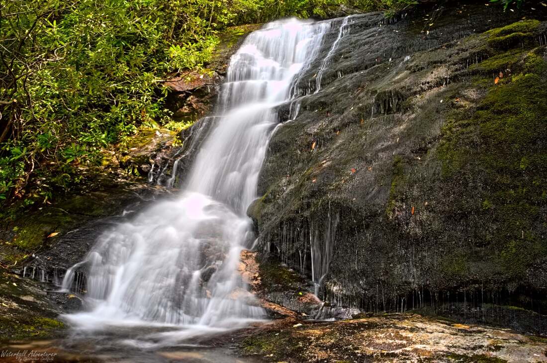
Photo by Christopher Cockfield
Waterfall Info: From the bottom, this is the fourth waterfall in the Thomas Creek watershed. Being located high up in the headwaters of North Fork Thomas Creek, it is better seen during wet weather.
Landowner: Chattahoochee National Forest
Height: 30 Feet
Type: Sheer Drop (Single-Tier)
County: Rabun
Access Info: Starting from Darnell Creek Road (FS 150), an old logging road loosely parallels North Fork Thomas Creek to nearly the waterfall, but it is overgrown and features deadfall at times. You must leave the road and make a steep off-trail scramble through a slim passage amid rhododendron to reach the falls.
Waterfall Location: 34.962107, -83.311768
Click here for Bernie Boyer's report with detailed access information

First in Georgia!
Get Mark's brand new
guidebook to 700+ falls.