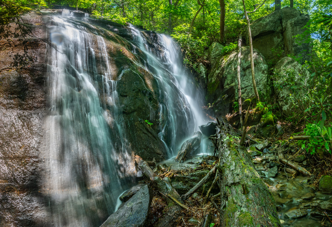
Constellation Falls
Waterfall Info: This is a remote, multi-section waterfall off-trail on a large but unnamed creek that appears to be the south fork of Rockflat Branch, flowing off the west side of Grassy Mountain. The waterfall consists of at least five separate sheer drops, each quite scenic in its own. The fifth and largest drop pictured above is 60 to 70 feet high. Scroll down for pictures of the other drops.
Landowner: Chattahoochee National Forest (Cohutta Wildlife Management Area)
Height: 160+ Feet
Type: Sheer Drops, Slides, & Cascades (Multi-Tier)
County: Murray
Access Info: Hike along gated FS 630D from Mill Creek Road (FS 630) for 2.5 miles until you reach the large, culverted creek that Constellation Falls is on. From here on, simply walk along or in the creek upstream for about a mile until you reach the falls. In the first third to half of the off-trail walk, it is more efficient to walk through the woods near the creek, but eventually, as the banks steepen, you will want to start scrambling up the creek-bed itself.
Waterfall Location: 34.866154, -84.677983 (for the fifth and biggest part of the waterfall)

First in Georgia!
Get Mark's brand new
guidebook to 700+ falls.


