David's Falls
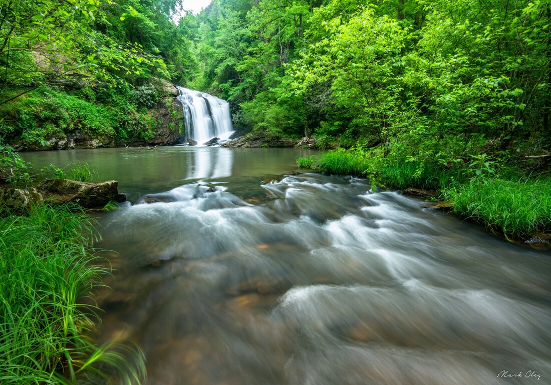
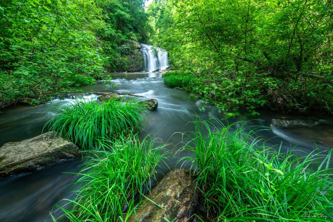
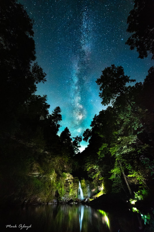
Waterfall Info: This is a stunning waterfall on Davidson Creek, a major tributary of well-known Panther Creek. The waterfall's name honors David Carswell, an interpretive ranger who grew up near the falls. The base of the falls is home to one of the largest and most beautiful pools or swimming holes I've seen in Georgia. Upstream from David's Falls is a scenic set of cascades about 10 feet high. Downstream from David's Falls is a 20-foot slide/chute and a 10-foot fan-shaped cascade.
Landowner: Chattahoochee National Forest
Height: 30 Feet
Type: Sheer Drop (Single-Tier)
County: Habersham
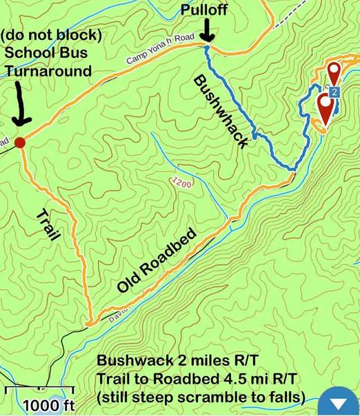
Access Info: This waterfall is accessed by an unofficial, unmarked trail along old logging roads from Camp Yonah Road. First, follow the trail south from the School Bus Turnaround along Camp Yonah Road. After a steep descent, reach a gated road at the bottom of the Davidson Creek Gorge. The road is also the route for a buried pipeline serving drinking water to the city of Toccoa. Turn left and go downstream along Davidson Creek. At 0.2 mile after the road rises above the creek, it makes a sharp left curve at a small ridge. Here, turn right, leave the road, and scramble steeply off-trail down to the creek below the falls. There is almost a faint path along the ridge to the creek, but the terrain is extremely steep and rugged. The total hiking distance to the falls is about two miles from Camp Yonah Road.
Waterfall Location: 34.661895, -83.385381

First in Georgia!
Get Mark's brand new
guidebook to 700+ falls.


