Dill Creek Falls
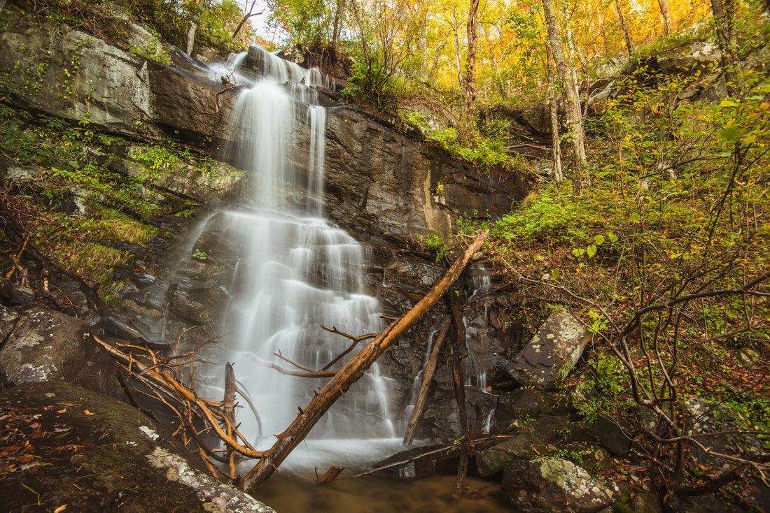
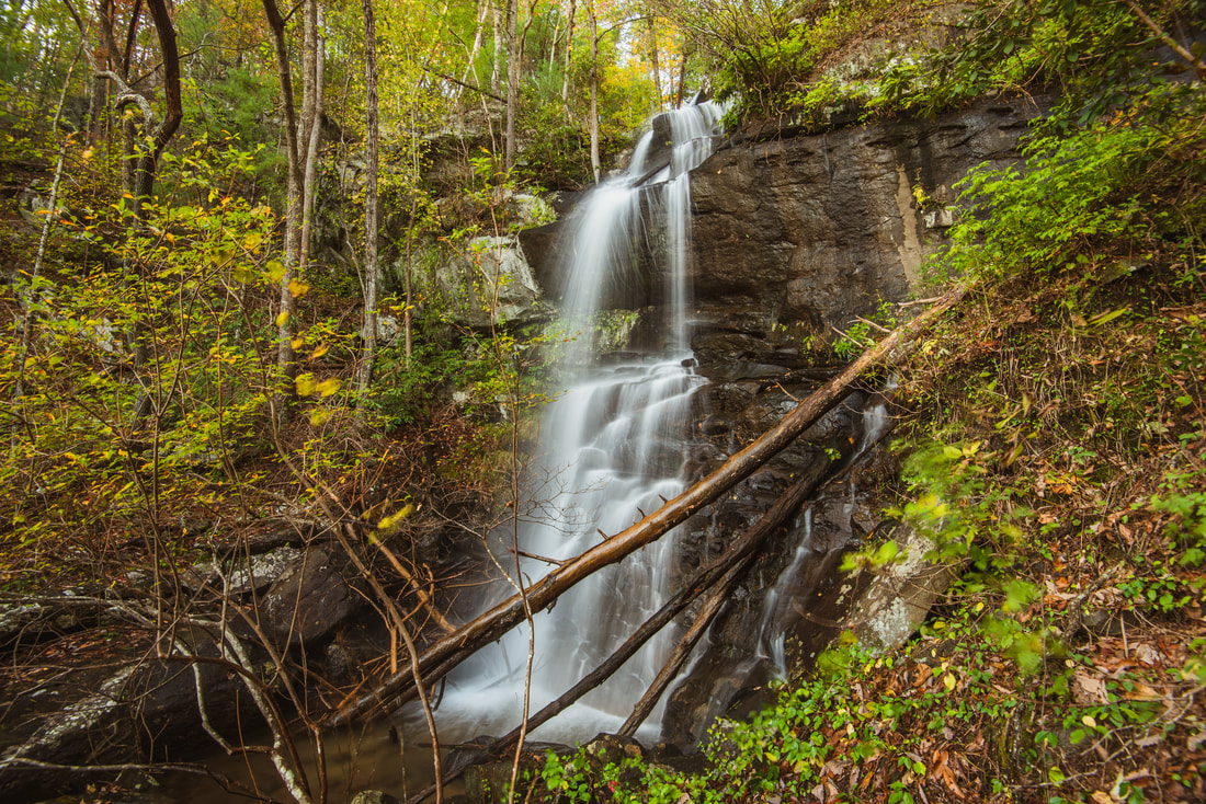
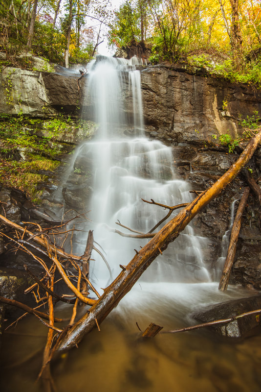
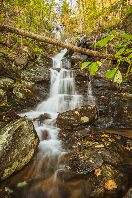
Waterfall Info: This is a spectacular waterfall in a rugged gorge on Dill Creek on the southern slopes of Grassy Mountain. There are additional drops below the main waterfall. Jagged bluffs surround the waterfall on both sides.
Landowner: Chattahoochee National Forest (Cohutta Wildlife Management Area)
Height: 60 Feet
Type: Sheer Drop (Single-Tier)
County: Murray
Access Info: Dill Creek Falls is located a short distance downstream from where the Milma Creek ATV Trail crosses the creek, but there is no trail to the waterfall. The Milma Creek ATV Trail is part of the Windy Gap OHV trail system. There are several ways to get to this point. Perhaps the most logical route is to follow the Emery Creek Trail past Emery Creek Falls and Upper Emery Creek Falls until the trail crosses the ATV trail. From there, you would want to follow the ATV trail westward for about a mile until it passes a junction with the decommissioned Tibbs ATV trail descending from Lake Conasauga, and then another half-mile to Dill Creek. It would be shorter to follow the old Tibbs ATV Trail down from Lake Conasauga, but this would involve an elevation gain of 1,200 feet.
I think the easiest way to reach the base of Dill Creek Falls is to bushwhack down the River Right (west) side of the creek from the point where the ATV trail curves fully away from the creek valley westward. However, this is not as easy as it sounds. While the bushwhack is short and the woods are relatively open, the terrain is very steep and rugged. You will need to scramble your way down carefully to circumnavigate several cliffs and rock outcrops and look for notches that provide the easiest route to the base. I completed the scramble without ropes pretty easily, but I am experienced in this kind of scrambling and was able to find the best route without getting into any precarious position.
Waterfall Location: 34.840702, -84.656032

First in Georgia!
Get Mark's brand new
guidebook to 700+ falls.


