Dockery Lake Falls
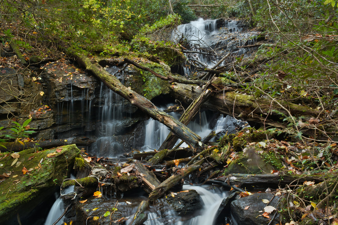
Photo by Mark Oleg
Waterfall Info: This is the uppermost waterfall on Waters Creek. It would be very scenic if it didn't have so much heavy deadfall on it.
Landowner: Chattahoochee National Forest (Chestatee Wildlife Management Area)
Height: 40 Feet
Type: Slide & Cascades (Multi-Tier)
County: Lumpkin
Access Info: To reach Dockery Lake Falls, follow the Dockery Lake Trail from Dockery Lake Recreation Area at the end of FS 654. You'll have to take a very steep side trail that turns into a low-level bushwhack to reach the falls.
Waterfall Location: 34.677350, -83.973833
Click here for Bernie Boyer's report with detailed access information

First in Georgia!
Get Mark's brand new
guidebook to 700+ falls.