Fitbit Falls
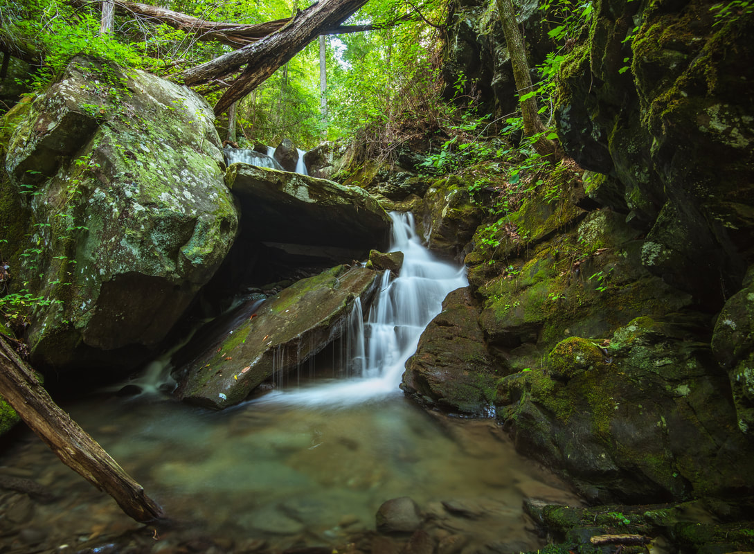
Photo by Mark Oleg Ozboyd
Waterfall Info: This is the only waterfall on Milma Branch downstream from the Milma Creek dirt bike/OHV trail. It is in a small, rugged canyon where the creek is lined by cliffs on both sides.
Landowner: Chattahoochee National Forest (Cohutta Wildlife Management Area)
Height: 15 Feet
Type: Double Sheer Drop (Double-Tier)
County: Murray
Access Info: The best way to reach the falls is to hike the Windy Gap OHV Trail, either from its upper end at FR 49 near Lake Conasauga, or from its lower end at FR 218 in Windy Gap. From Lake Conasauga, the trail is single-track for dirt bikes only, while from Windy Gap, it looks more like a rough, narrow dirt road. The road crosses Milma Branch in between Fitbit Falls and Saligugi Falls. Keep following the road for another 0.8 mile southeast from the crossing, until a point where the road is directly easy of Fitbit Falls. Bushwhack through mostly open forest down an extremely steep slope to the creek. You will have to descend a gully a couple hundred feet downstream from the falls to avoid cliffs.
Waterfall Location: 34.84039, -84.67175

First in Georgia!
Get Mark's brand new
guidebook to 700+ falls.