Goliath Falls
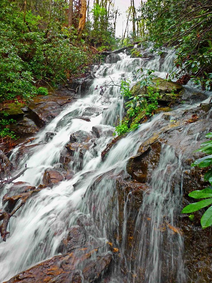
Photo of upper section by Greg Ford
Waterfall Info: This is a large series of drops in the upper reaches of Frogtown Creek. It is marked on the USGS topo map as "Falls" without any name. There are multiple sections to the waterfall, some more cluttered than others, but the total continuous drop is quite long. Best seen in wet weather.
Landowner: Chattahoochee National Forest (Raven Cliffs Wilderness)
Height: 200 Feet
Type: Cascades & Sheer Drops (Multi-Tier)
County: Lumpkin
Access Info: Bushwhack straight down the mountainside from the area just east of the hairpin curve on US 129. There is no trail and the terrain is very steep. The slope is full of decades of garbage thrown from the road, including broken glass and rusty metal. Be extremely careful - you don't want to fall on glass!
Waterfall Location: 34.73024, -83.92067
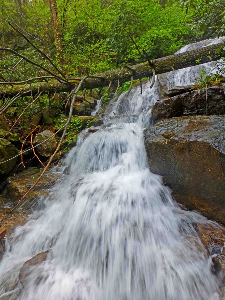
Photo of middle section by Greg Ford
|
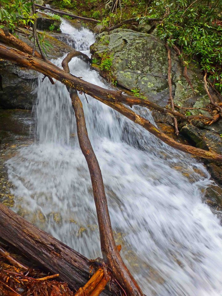
Photo of lower section by Greg Ford
|

First in Georgia!
Get Mark's brand new
guidebook to 700+ falls.