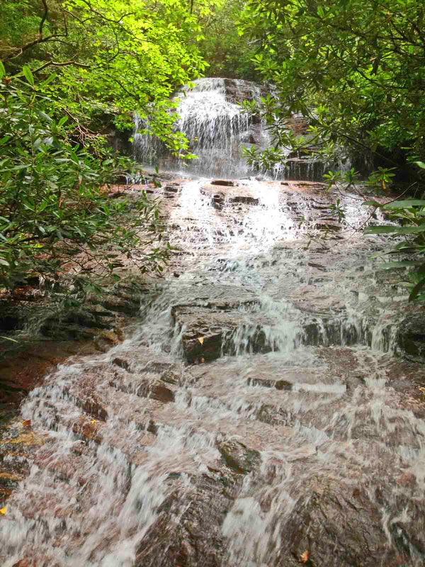
Grapevine Falls
Waterfall Info: This scenic waterfall is located at the 2,880-foot level of an unnamed east tributary of High Shoals Creek. The stream is marked on topo maps and flows into High Shoals Creek about a quarter-mile south of Maple Springs Branch.
Landowner: Chattahoochee National Forest (Swallow Creek Wildlife Management Area)
Height: 35 Feet
Type: Sheer Drop & Stairstep Cascade (Double-Tier)
County: Towns
Access Info: Simply start out along Indian Grave Gap Road (FS 283) and bushwhack down the extremely steep west side of the High Shoals Creek gorge. Try to aim to reach High Shoals Creek as close as possible to the Grapevine Falls stream confluence. Then, cross High Shoals Creek, and scramble/bushwhack upstream closely along the unnamed stream for less than 0.1 mile to the falls. There are ways to make a loop hike if you're already visiting other off-trail waterfalls in the gorge like Maple Spring Falls and Jungle Cliff Falls - study a topo map.
Waterfall Location: 34.79978, -83.71436

First in Georgia!
Get Mark's brand new
guidebook to 700+ falls.

