High Cascades of Crenshaw Branch
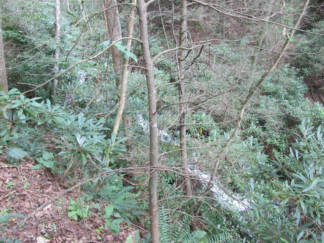
Photo by Robert Shaw
Waterfall Info: Coming from the top, this is the last significant waterfall on Crenshaw Branch, although there are a few cascades farther downstream (including one that is sometimes called the Lower Falls). It's extremely difficult to get a good view of this long series of cascades and falls, although from the side of the trail, you can see the full run through the vegetation. It's not worth it by itself due to the mediocre view but the High Cascades will make a nice add-on to a hike to Crenshaw Branch Falls. The coordinates are for the most accessible view of the falls near the top.
Landowner: Chattahoochee National Forest (Cohutta Wildlife Management Area)
Height: 100+ Feet
Type: Slides & Cascades (Multi-Tier)
County: Gilmer
Access Info: Easiest access is via Mountaintown Creek Trail from Buddy Cove Gap on FS 64. The falls will be to the left. You will pass the small upper falls and the beautiful Crenshaw Branch Falls first. Alternative access is available from the bottom from FS 241 via Bear Creek Trail (past Gennett Poplar), Pinhoti Trail, and Mountaintown Creek Trail, but it's a much longer and harder hike.
Waterfall Location: 34.850583, -84.543483
See Eric Pierce's video from the Mountaintown Creek Trail here

First in Georgia!
Get Mark's brand new
guidebook to 700+ falls.