Horsetail Falls
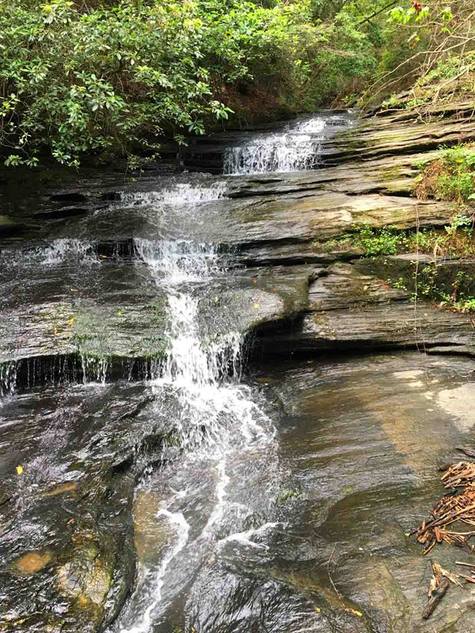
Waterfall Info: This small but scenic waterfall is on an unnamed tributary of the Middle Fork Broad River that joins the river from the south a little downstream from Farmers Bottom. The falls is located right at the confluence.
Landowner: Chattahoochee National Forest (Lake Russell Wildlife Management Area)
Height: 25 Feet
Type: Stairstep Cascades (Multi-Tier)
County: Stephens
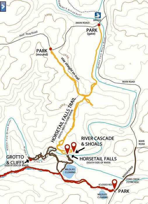
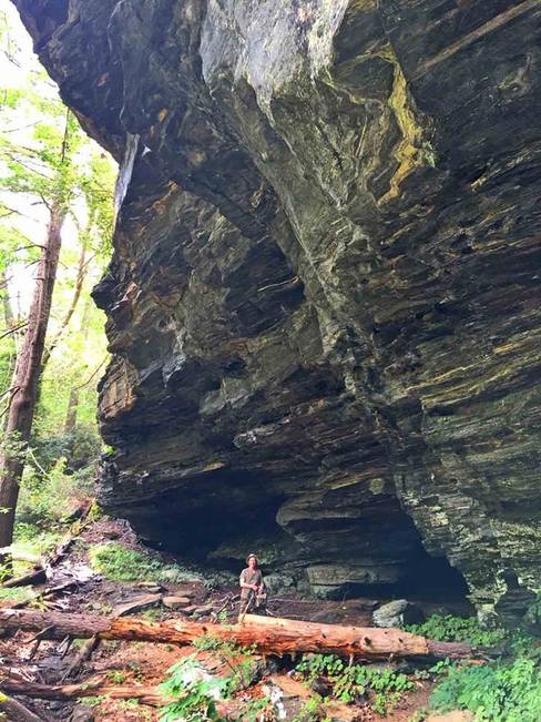
Access Info: There are several ways to access this waterfall (see map below). An unofficial "Horsetail Falls Trail" leads 1 mile one way from Red Root Road (FS 92). This trail requires fording the Middle Fork Broad River. Another unofficial trail, only 1/2 mile one way, leads to the falls from Post Oak Corner Road (FS 193). This trail doesn't have a river crossing. Visitors may also want to visit a spectacular set of cliffs with a grotto (see photo below) on the south side of the river, about 1/4 mile downstream from Horsetail Falls.
Waterfall Location: 34.49174, -83.43452

First in Georgia!
Get Mark's brand new
guidebook to 700+ falls.


