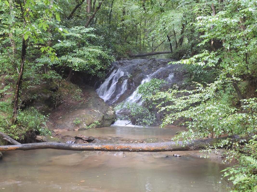
Jakes Landing Falls
Waterfall Info: This small waterfall is at the mouth of an unnamed creek flowing into Carters Lake from Ridgeway Road to the north. Jakes Landing is the name of the flat by Carters Lake at the stream's mouth, a spot that fishermen like to frequent. Jakes Landing also appears to be the name of the development slated for this area of Carters Lake.
Landowner: US Army Corps of Engineers - Carters Lake
Height: 15 Feet
Type: Sliding Cascade (Single-Tier)
County: Gilmer
Access Info: The most reliable way to reach Jakes Landing Falls is to kayak Carters Lake from the boat ramp at Ridgeway Recreation Area. The waterfall is located directly where the creek dumps into the lake. Alternatively, at mile 1.5 on Ridgeway Road from US 76, a slim dirt road on the left leads to a gate 300 feet upstream from Jakes Landing Falls. A path then leads to the waterfall and the lake. The gate is at the US Army Corps of Engineers land boundary, but the road is on private property. It is unclear whether the road has a public county right-of-way; the area appears to slated for development.
Waterfall Location: 34.663878, -84.587396

First in Georgia!
Get Mark's brand new
guidebook to 700+ falls.

