Jungle Cliff Falls
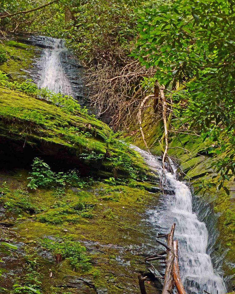
Close-up of upper tiers of Jungle Cliff Falls. Photo by Greg Ford
Waterfall Info: This is the lowermost and primary waterfall on an unnamed High Shoals Creek tributary, which drops steeply down from the northeast side of Rocky Mountain and reaches High Shoals Creek from the west, just north of the Maple Spring Branch confluence. The stream is marked on topo maps, but the falls is still best seen in wet weather.
Landowner: Chattahoochee National Forest (Swallow Creek Wildlife Management Area)
Height: 100 Feet
Type: Double Sheer Drop & Cascade (Triple-Tier)
County: Towns
Access Info: The easiest route is to park along Indian Grave Gap Road (FS 283) where it crosses the unnamed stream, and to bushwhack downstream along the stream's north side all the way to the falls. You will pass the smaller upper and middle falls along the way. The bushwhack is steep and overgrown at times.
Waterfall Location: 34.804618, -83.718249

First in Georgia!
Get Mark's brand new
guidebook to 700+ falls.