Lake Conasauga Falls
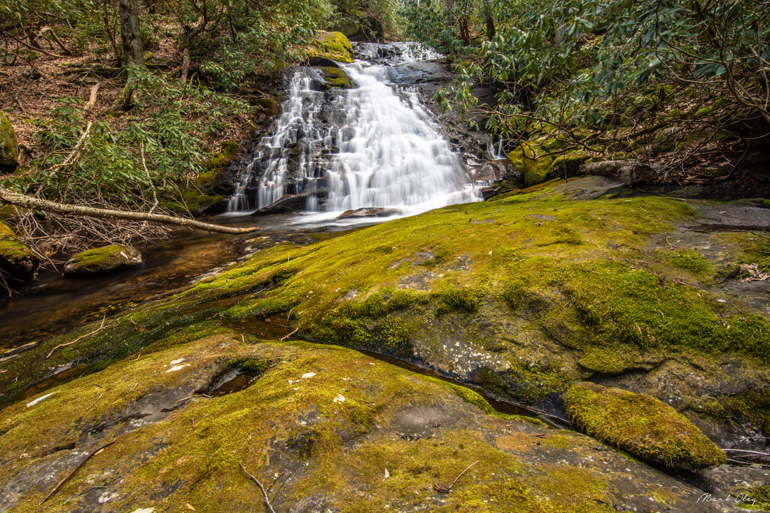
Photo of the uppermost drop by Mark Oleg
Waterfall Info: This is a very scenic series of cascades and waterfalls on the upper reaches of Mill Creek, just below Lake Conasauga. It is miles upstream from the better-known series of five falls near FS 630 and Hickey Gap. See photos of the other sections below.
Landowner: Chattahoochee National Forest (Cohutta Wildlife Management Area)
Height: 40 Feet for the biggest drop
Type: Cascades, Sheer Drops, and Slides (Multi-Tier)
County: Murray
Access Info: The best way to fully appreciate the beauty of this waterfall and creek is to bushwhack up the entire steep upper section of the creek, from about elevation 2,520 ft to 2,880 ft. Keep in mind that this is a very strenuous bushwhack and creek-walk with no trail whatsoever and strenuous scrambling through rhodo thickets and boulder gardens. Most people will not think that this creek is worth the effort involved. However, people who relish off-trail exploring will love it. With that said, if you just want to see the uppermost drop, the off-trail bushwhack is relatively easy along a ridge that extends southwest from FS 17 (West Cowpen Road). This ridge brings you to the top of the falls, from where it is an easy scramble along the east side of the creek to the base.
Waterfall Location: 34.870306, -84.653139 for the uppermost drop
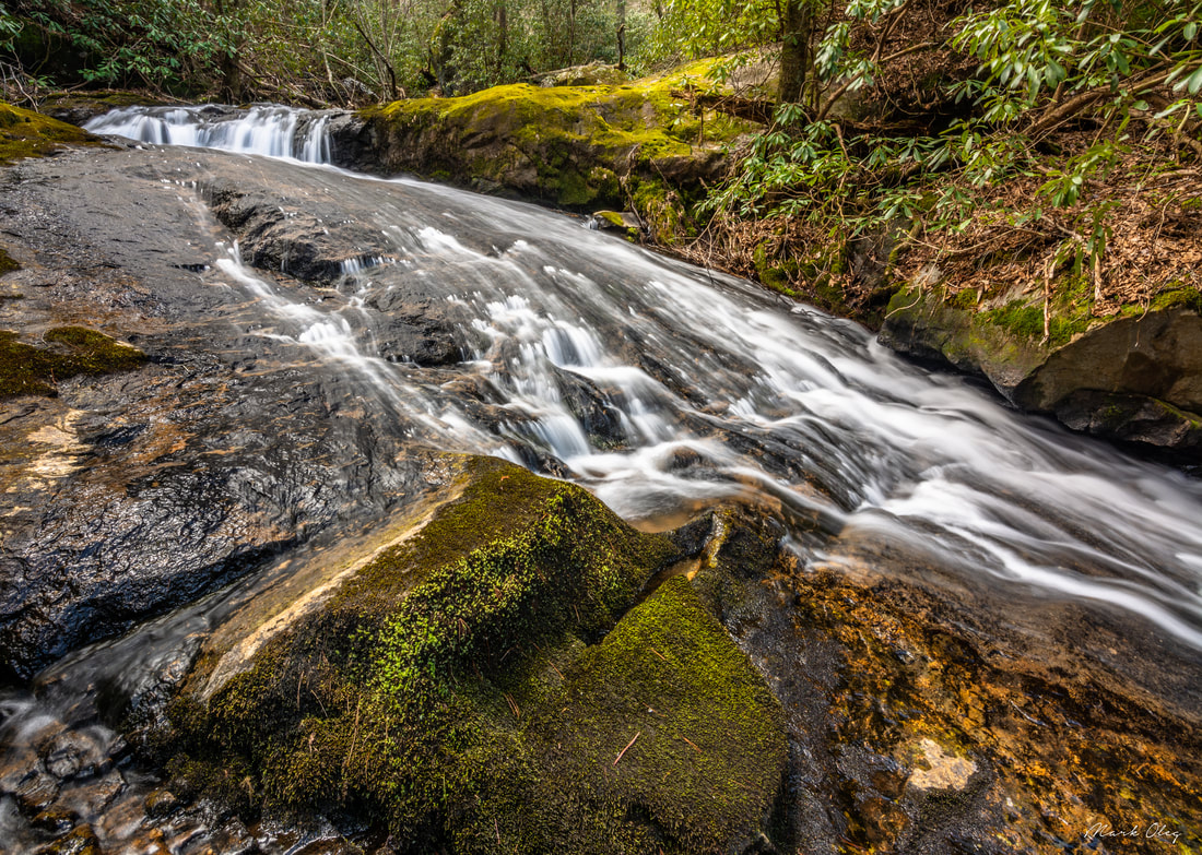
Photo of the second drop from the top by Mark Oleg
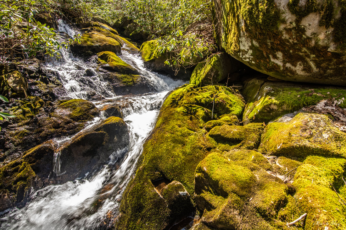
Photo of the fourth drop from the top by Mark Oleg
|
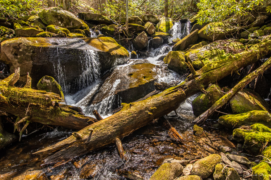
Photo of third drop from the top by Mark Oleg
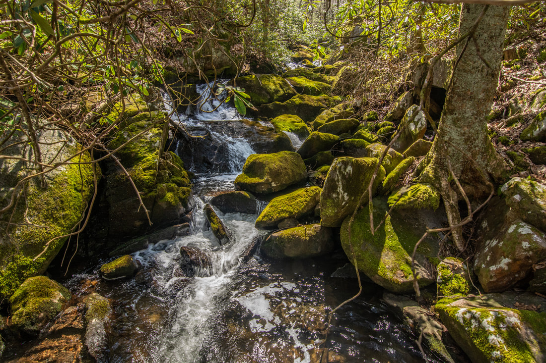
Photo of lower cascades by Mark Oleg
|

First in Georgia!
Get Mark's brand new
guidebook to 700+ falls.