Lost Laurel Falls
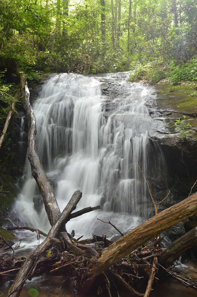
Photo by Jeff Patterson
Waterfall Info: This waterfall is located in a remote gorge on Laurel Creek (a tributary of Cherry Log Creek) at the 2,080-foot level. There are additional cascades above and below the main drop.
Landowner: Chattahoochee National Forest
Height: 40 Feet
Type: Sheer Drop & Cascades (Multi-Tier)
County: Gilmer
Access Info: This waterfall is far off-trail and is accessed by a strenuous bushwhack from the Benton MacKaye Trail. It may be easier to creek-walk upstream from where the BMT crosses Laurel Creek than bushwhack straight down the mountainside, even though it is longer that way.
Waterfall Location: 34.80621, -84.33867
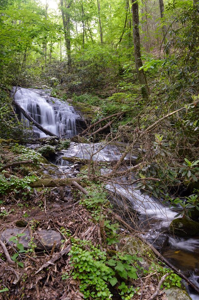
Photo by Jeff Patterson
|
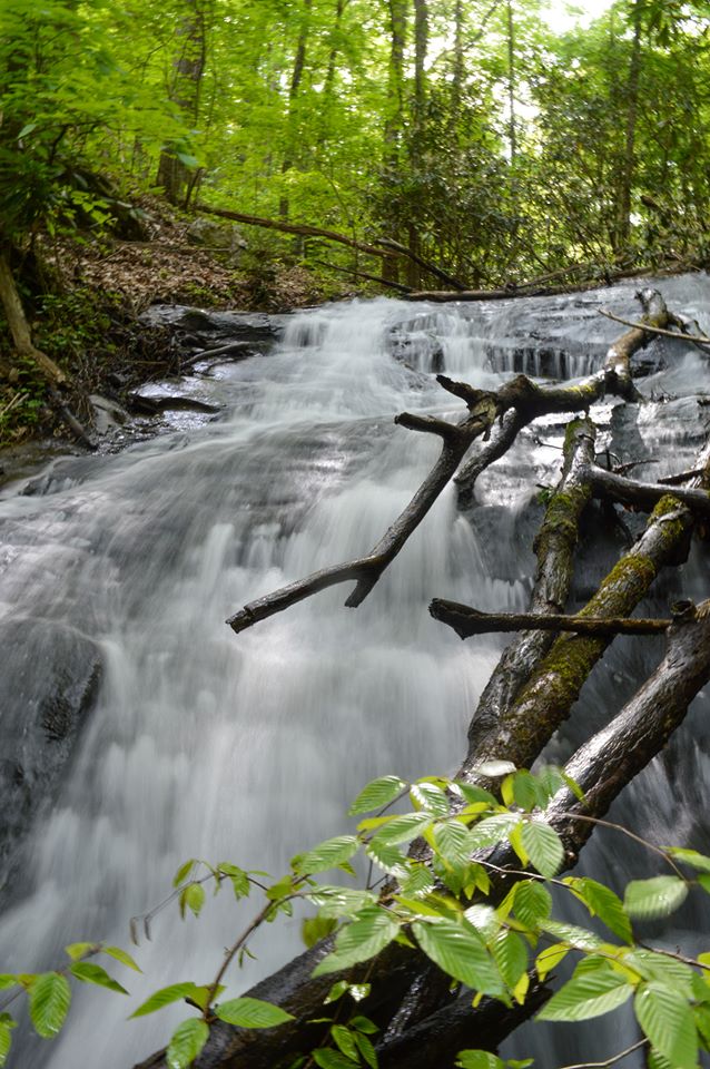
Photo by Jeff Patterson
|

First in Georgia!
Get Mark's brand new
guidebook to 700+ falls.