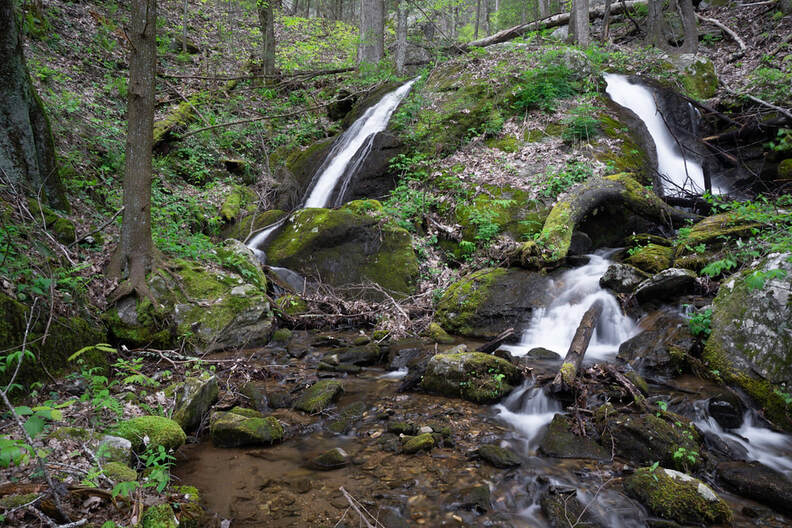
Lower Coosa Branch Falls
Waterfall Info: Approaching from the bottom, this is the first falls on a tributary of West Fork Wolf Creek that drops down the east slope of Coosa Bald.
Landowner: Chattahoochee National Forest
Height: 20 Feet
Type: Twin Slide (Single-Tier)
County: Union
Access Info: An old logging road begins on the west side of West Wolf Creek Road (FS 107) 0.6 mile north of Burnett Gap on Highway 180. This overgrown old logging road leads to Coosa Branch Falls. Along the way, make a short scramble down the slope to view this lower waterfall on Coosa Branch.
Waterfall Location: 34.772772, -83.948565
Click here for Bernie Boyer's report with detailed access information

First in Georgia!
Get Mark's brand new
guidebook to 700+ falls.

