Lower DeSoto Falls
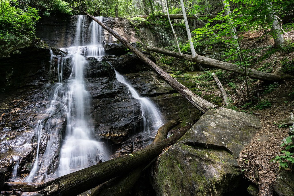
Photo by Bernie Boyer
Waterfall Info: This is one of several waterfalls in the DeSoto Falls Scenic Area. It's on an unnamed tributary of Frogtown Creek that flows from Gooch Gap.
Landowner: Chattahoochee National Forest (Chestatee Wildlife Management Area)
Height: 30 Feet
Type: Free-Fall & Steep Cascade (Double-Tier)
County: Lumpkin
Access Info: Lower DeSoto Falls is accessed via the well-maintained Lower DeSoto Falls Trail from DeSoto Falls Trailhead off US 129.
Waterfall Location: 34.707469,-83.917844
Click here for Bernie Boyer's report with detailed access information

First in Georgia!
Get Mark's brand new
guidebook to 700+ falls.