Lower Montgomery Falls
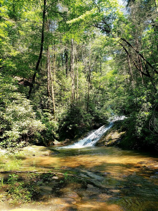
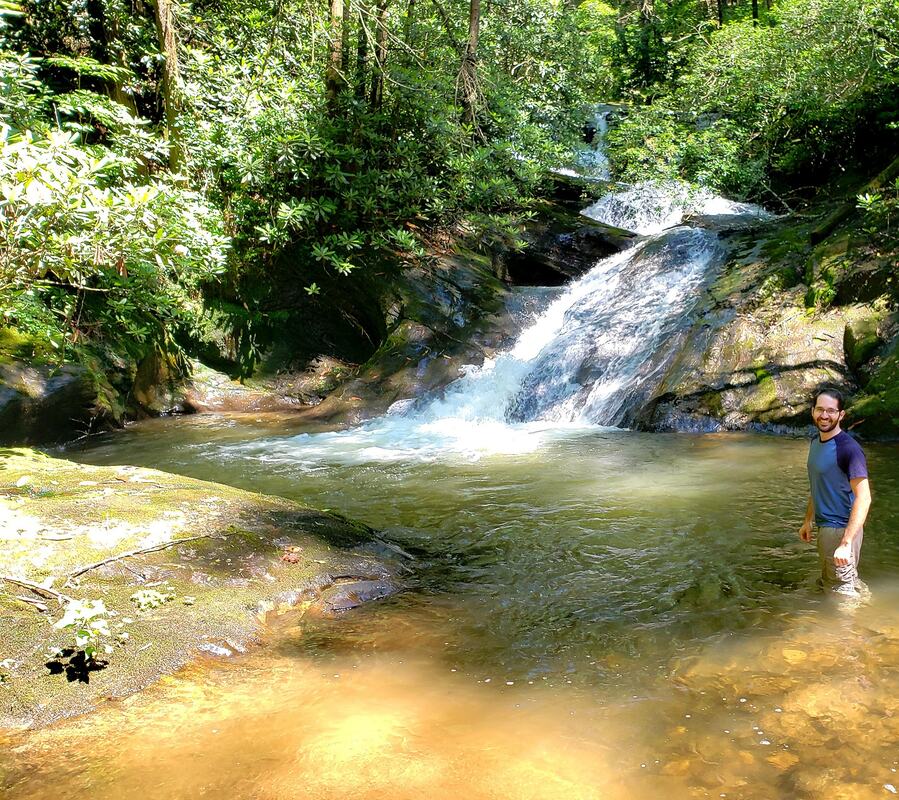
Waterfall Info: The lower of two falls on Montgomery Creek, this waterfall lies about a quarter-mile below the main waterfall.
Landowner: Chattahoochee National Forest
Height: 25 Feet
Type: Double Slide (Double-Tier)
County: Lumpkin
Access Info: Follow an old logging road (also used as a bike trail) from FS 141 just off the Camp Merrill grounds. To get to Montgomery Falls, you will have to turn right at a junction and parallel West Fork Montgomery Creek (the trail straight goes downhill to the Etowah River confluence). Lower Montgomery Falls lies at the end of a steep, faint scramble path branching from the main trail.
Waterfall Location: 34.62195, -84.11138

First in Georgia!
Get Mark's brand new
guidebook to 700+ falls.


