Lower Old DeSoto Falls
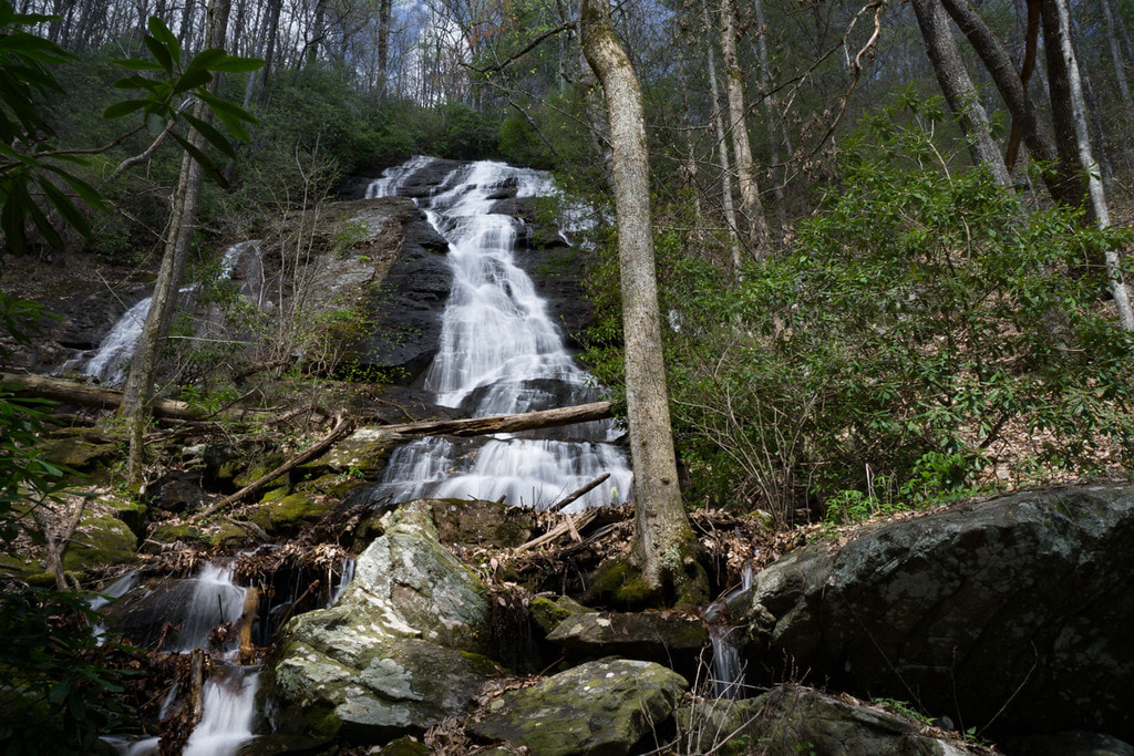
Photo by Bernie Boyer
Waterfall Info: This is the lower of two tall waterfalls on an unnamed tributary of Frogtown Creek that flows from Daniel Camp Gap. Originally, these waterfalls were known collectively as Upper DeSoto Falls before the trail to them became unmaintained.
Landowner: Chattahoochee National Forest (Chestatee Wildlife Management Area)
Height: 130 Feet
Type: Long Slide (Single-Tier)
County: Lumpkin
Access Info: To see Lower Old DeSoto Falls, follow an unmaintained trail that splits off the Upper DeSoto Falls Trail. You will have to leave the trail and make a creek-walk up Frogtown Creek and then the tributary.
Waterfall Location: 34.722197,-83.917608
Click here for Bernie Boyer's report with detailed access information

First in Georgia!
Get Mark's brand new
guidebook to 700+ falls.