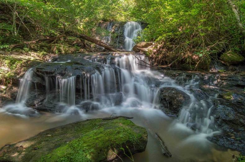
Lower Tabor Falls
Waterfall Info: This small, scenic waterfall is the second of three waterfalls on an unnamed tributary of the Middle Fork Broad River, flowing into the river from the west at the north end of Brown Bottoms.
Landowner: Chattahoochee National Forest (Lake Russell Wildlife Management Area)
Height: 15 Feet
Type: Sheer Drop & Cascade (Double-Tier)
County: Habersham
Access Info: This waterfall is accessed by the unofficial Tabor Falls Trail from FS 89A and Sellers Road. The falls is a little over 0.1 mile downstream from Tabor Falls. Instead of turning right on the steep downhill scramble to the base of Tabor Falls, keep going straight on a narrow phantom path. It is hard to follow but leads directly to the base of the lower falls.
Waterfall Location: 34.536195, -83.447059

First in Georgia!
Get Mark's brand new
guidebook to 700+ falls.

