Lower Tumbling Rock Falls
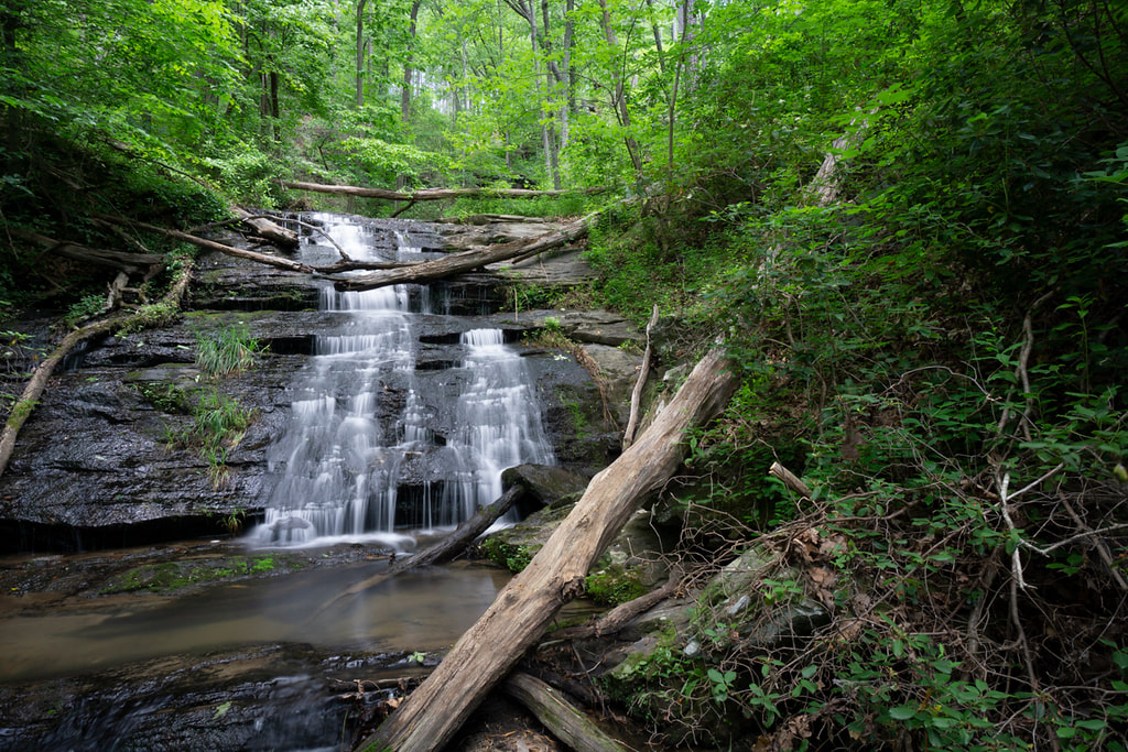
Photo by Bernie Boyer
Waterfall Info: This waterfall is on a small tributary of the Middle Fork Broad River that begins a little southwest of Ducket Lake and flows in from the northwest a little upstream from Farmers Bottoms.
Landowner: Chattahoochee National Forest (Lake Russell Wildlife Management Area)
Height: 15 Feet
Type: Sliding Cascade (Single-Tier)
County: Habersham
Access Info: A well-defined trail from a campsite along Guard Camp Road (FS 92) leads close to this waterfall. However, you'll need to do a short bushwhack to reach the base.
Waterfall Location: 34.51368, -83.44930
Click here for Bernie Boyer's report with detailed access information

First in Georgia!
Get Mark's brand new
guidebook to 700+ falls.