Maney Branch Falls
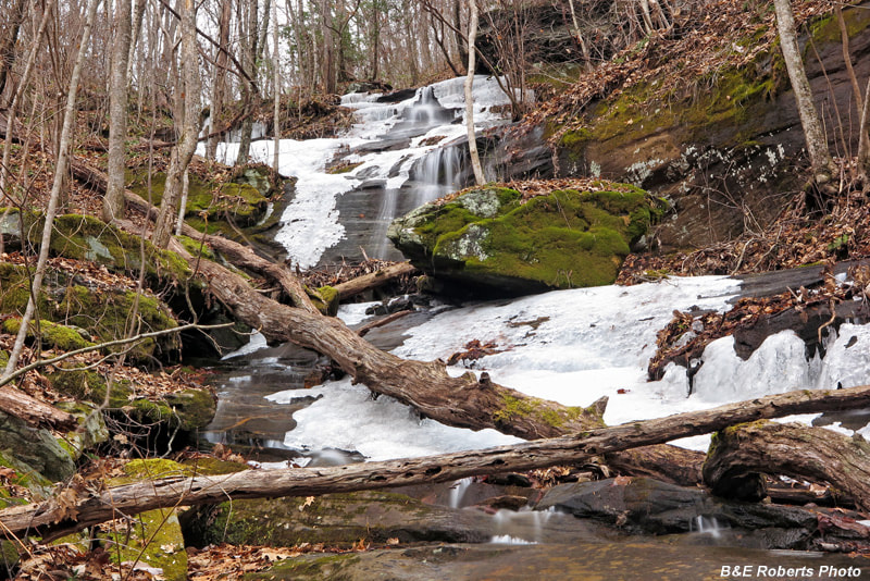
Photo by Bruce Roberts
Waterfall Info: This waterfall is on the upper reaches of Maney Branch, a tributary of Hall Creek.
Landowner: Chattahoochee National Forest (Southern Nantahala Wilderness)
Height: 60 Feet
Type: Slides & Cascades (Single-Tier)
County: Towns
Access Info: Most waterfalls in the southwestern sector of the Southern Nantahala Wilderness are extremely difficult to reach via public land. At the moment, there isn't any detailed access information for this waterfall. Locate the waterfall on a topographic map and property map, and study the maps on your own to find the best way. Be prepared for a brutal cross-country hike. Note that, as of this writing, access from the Upper Hightower Road/Hall Creek Road vicinity is impossible due to private property.
Waterfall Location: 34.966873, -83.650018
Click here for Bruce Roberts' Southern Nantahala Wilderness photo page

First in Georgia!
Get Mark's brand new
guidebook to 700+ falls.