Mary Anne Branch Falls
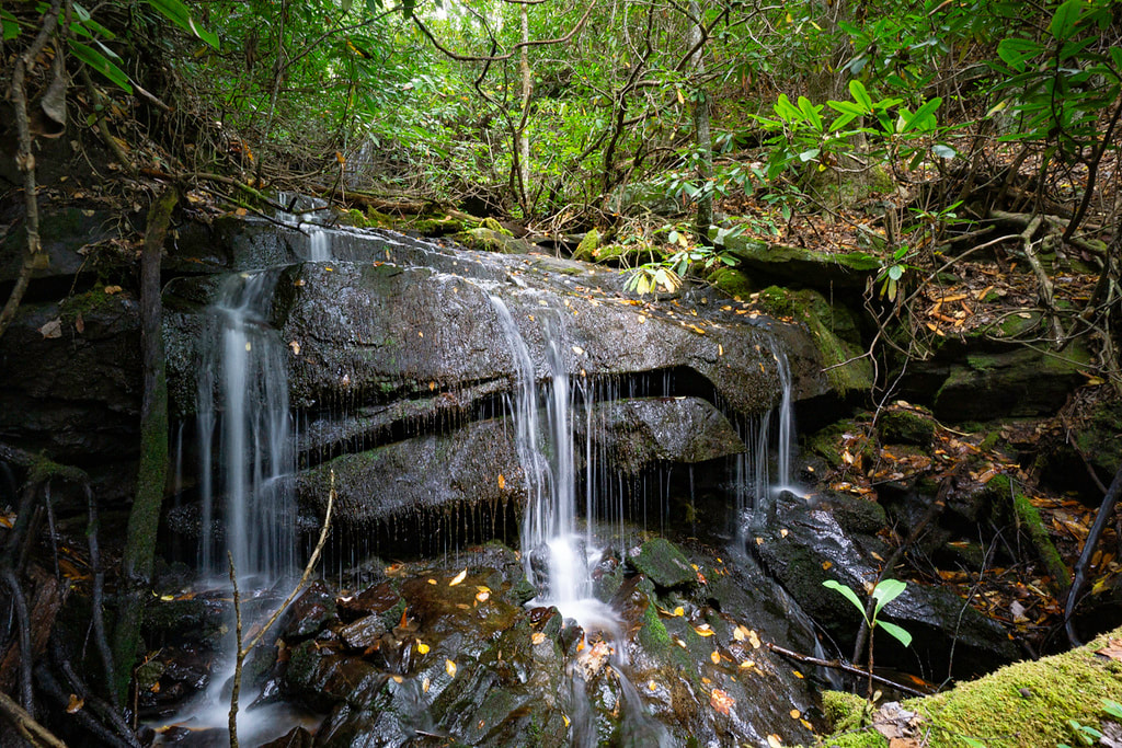
Photo of lower drop by Bernie Boyer
Waterfall Info: This is a pair of small but scenic drops on Mary Anne Branch at the 2,960-foot level. The two drops are separated by 30 feet of level rocky rubble. Mary Anne Branch is a north tributary of Wildcat Creek in the headwaters area.
Landowner: Chattahoochee National Forest (Tray Mountain Wilderness)
Height: 30 Feet
Type: Free-Fall & Sheer Drop (Double-Tier)
County: Rabun
Access Info: A well-defined unofficial trail begins at the point where Wildcat Creek Road (FS 26-1) leaves Wildcat Creek, about 0.3 mile past Wildcat Campground #2. This trail, which initially follows Wildcat Creek, serves as the access for Mary Anne Branch Falls. A fainter trail/old logging road that occasionally vanishes and reappears follows Mary Anne Branch all the way to the falls, so any bushwhacking is low-level difficulty.
Waterfall Location: 34.845995, -83.641143
Click here for Bernie Boyer's report with detailed access information
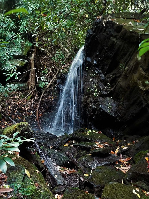
Photo of upper drop by Bernie Boyer

First in Georgia!
Get Mark's brand new
guidebook to 700+ falls.