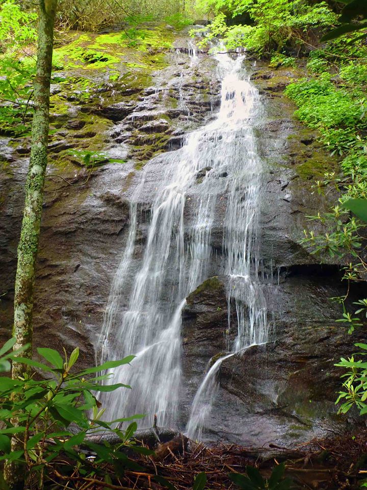
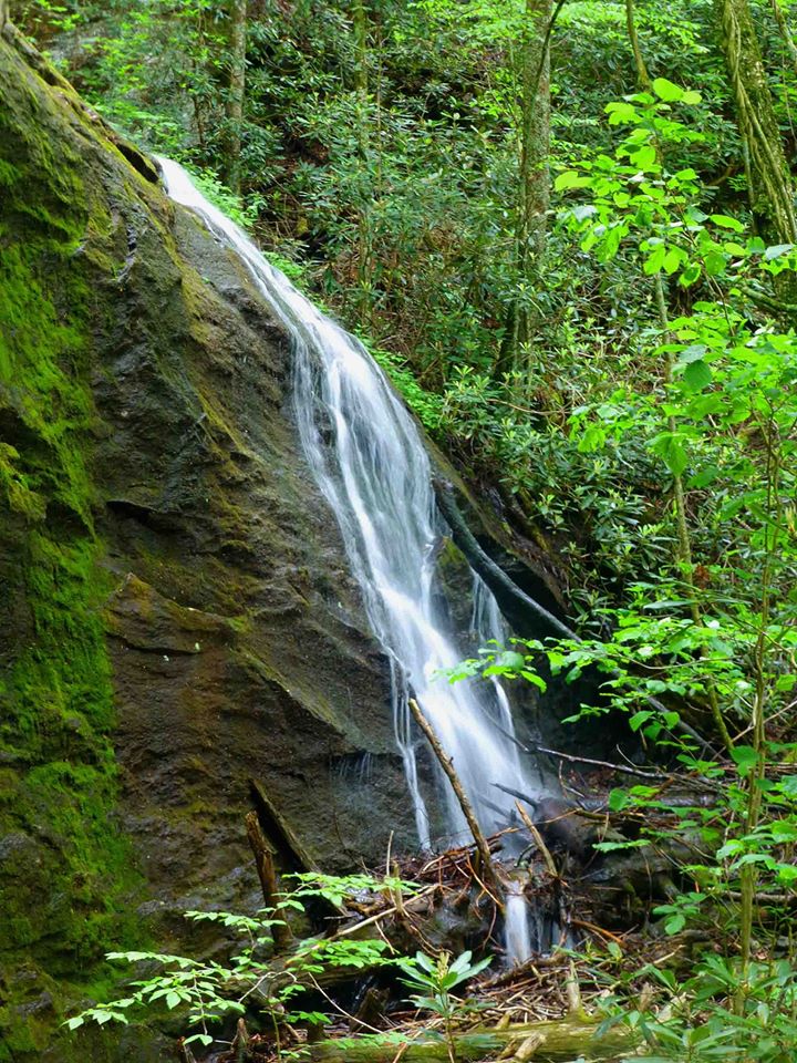
Memorial Falls
Waterfall Info: This large waterfall is located on an unnamed tributary of Brasstown Creek, draining in from the south in the headwaters on the northwest side of Brasstown Bald. The tributary is not shown on topo maps.
Landowner: Chattahoochee National Forest (Brasstown Wilderness)
Height: 80 Feet
Type: Steep Slide (Single-Tier)
County: Union
Access Info: The shortest access to this waterfall would have been from downstream along Brasstown Creek, but this access point is entirely blocked by private property and houses at the end of Upper Plott Town Road (there is NO national forest access from this road). Therefore, the only way to reach this waterfall and all the others in the upper Brasstown Creek watershed is to bushwhack down from the Wagon Train Trail leading from Brasstown Bald. Expect this to be a long, challenging bushwhack across treacherous cross-country terrain, regardless of the route you take.
Waterfall Location: 34.87914, -83.81912

First in Georgia!
Get Mark's brand new
guidebook to 700+ falls.


