Middle Cedar Mountain Falls (Long-Combo Falls)
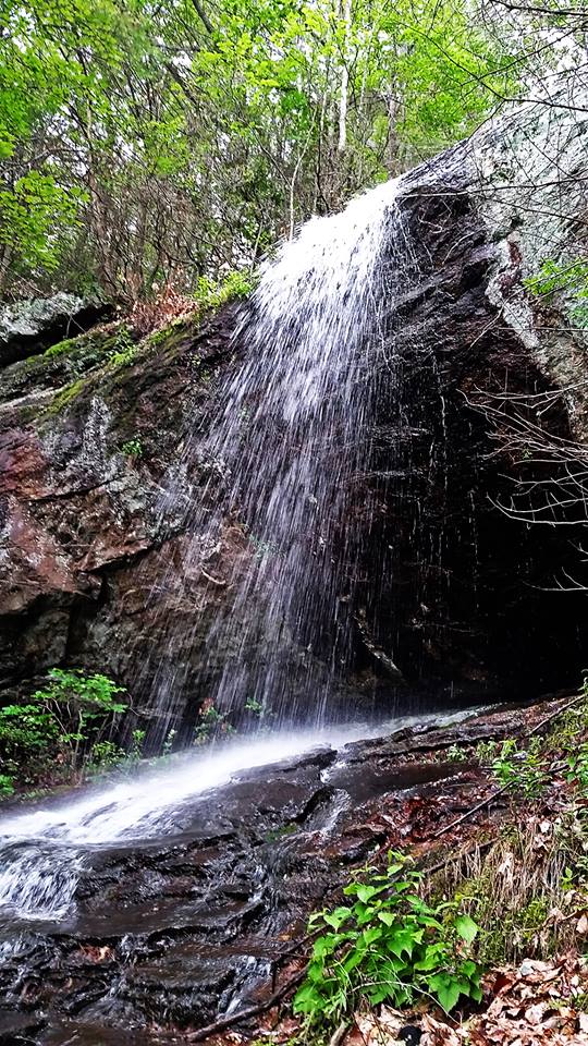
Photo by Mike Hiler
Waterfall Info: This is the second waterfall on an unnamed tributary of Frogtown Creek that flows from Cedar Mountain. It's a series of sliding and free-falling drops that has been referred to as Long-Combo Falls by Mike Hiler, who first documented the waterfalls on this stream. The coordinates are for the base of the most scenic (pictured) drop.
Landowner: Chattahoochee National Forest (Chestatee Wildlife Management Area)
Height: 100 Feet
Type: Slides & Free-Falls (Multi-Tier)
County: Lumpkin
Access Info: To see the waterfalls on the stream that flows from Cedar Mountain, bushwhack upstream from the Lower DeSoto Falls Trail that begins in the DeSoto Falls Recreation Area off US 129.
Waterfall Location: 34.712165, -83.920783

First in Georgia!
Get Mark's brand new
guidebook to 700+ falls.