Moonshine Falls
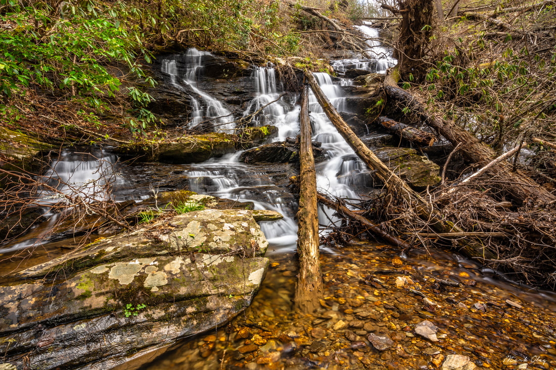
Photo by Mark Oleg
Waterfall Info: This is the upper of three falls on low-flow Falls Branch. It's best seen during periods of high flow. The falls is named after the nearby remains of a moonshine still and is marked on the old Hemp Top USGS topo map.
Landowner: Chattahoochee National Forest (Cohutta Wildlife Management Area)
Height: 70 Feet
Type: Free-Fall & Cascades (Multi-Tier)
County: Murray
Access Info: To get to Moonshine Falls, first follow an unofficial horse trail from the Horseshoe Bend Trailhead off FS 51 (East Cowpen Road). Then, leave the trail and make a fairly open bushwhack to the falls.
Waterfall Location: 34.978483, -84.624100

First in Georgia!
Get Mark's brand new
guidebook to 700+ falls.