Normandy Falls
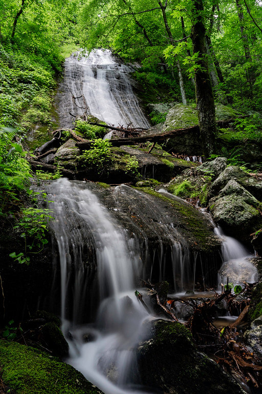
Photo by Bernie Boyer
Waterfall Info: There are several unmarked streams flowing off the steep east side of Rock Ridge, and all of these streams flow into the upper reaches of Bailey Branch north of Addie Gap. Some of these streams have surprisingly high water flow, while others have little to none. Normandy Falls is the southern of the two main significant waterfalls in this area, with Juno Falls being the other. The gullies south of Normandy Falls also drop over large cliffs but lack any water.
Landowner: Chattahoochee National Forest (Warwoman Wildlife Management Area)
Height: 90 Feet
Type: Steep Slide & Cascade (Double-Tier)
County: Rabun
Access Info: A well-defined trail along an old logging road begins on FS 7 (Hale Ridge Road) just north of where it crosses Bailey Branch. The unofficial trail travels up the Bailey Branch valley. Along the way, the trail passes the bushwhack access for Juno Falls. Eventually, the old logging road morphs into an abandoned, hand-dug trail that leads to Addie Gap. Normandy Falls is located directly along this old trail.
Waterfall Location: 34.961702, -83.273120
Click here for Bernie Boyer's report with detailed access information
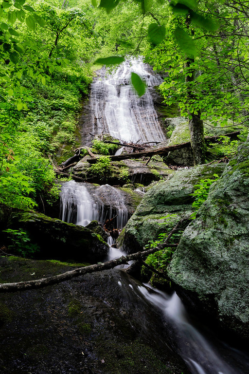
Photo by Bernie Boyer
|
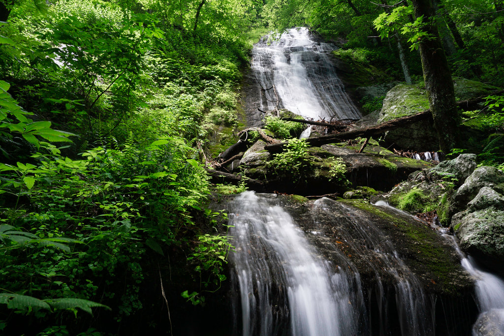
Photo by Bernie Boyer
|

First in Georgia!
Get Mark's brand new
guidebook to 700+ falls.