Ride-a-Horse Branch Falls
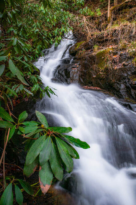
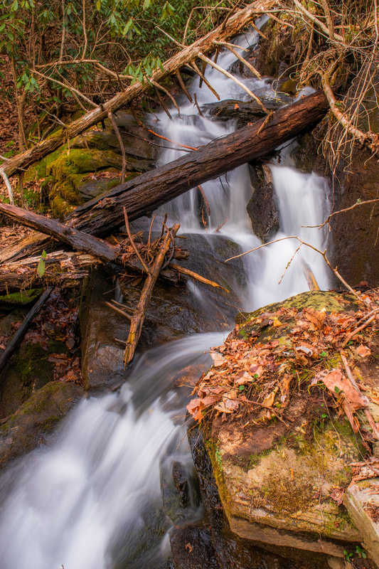
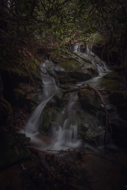
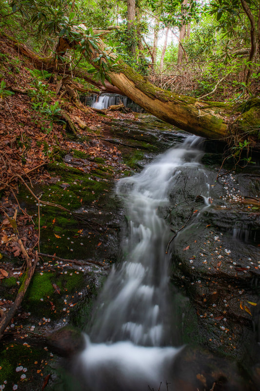
Waterfall Info: This substantial waterfall is located in the upper reaches of Ride-a-Horse Branch. It is characterized by a long series of interconnected drops. Fallen trees and encroaching vegetation make it difficult to establish a good view of the waterfall's main tier. A 10-foot sheer drop is located below the main waterfall. Additionally, a pair of cascades 8-10 feet high each are located above the waterfall.
Landowner: Chattahoochee National Forest (Cooper Creek Wildlife Management Area)
Height: 80+ Feet
Type: Steep Slide (Multi-Tier)
County: Fannin
Access Info: From Coopers Creek Road, take FS Road 774 for 0.4 miles. (Depending on the time of year, there may be a gate closed here. In which case, you will have to walk this 0.4 miles). At this point, an old logging road leaves FS road 774 on the right hand side approximately here: 34.76117, -84.11902. From there, follow this old logging road until it becomes kind of faint and loosely follow a string of other road beds over the saddle of the ridge. You will cross one small ridge and connect to Ride-A-Horse Branch on the other side of this ridge. Once you cross the saddle of the ridge, you should drop down and have approximately 0.1 miles of bushwhacking upstream along the banks of Ride-A-Horse Branch to reach the falls! It is recommended to cross the creek and approach the falls on the left-hand side of the creek (if you’re facing upstream). As a word of caution, this terrain gets extremely steep and slippery once you reach the base of the falls! Significant amounts of deadfall/blowdowns will pose many obstacles, as will erosion! Depending on how far up the falls you decide to go, it can be quite treacherous to get a good view. There are additional falls and cascades further upstream above the main falls. If you decide to proceed, do so with extreme caution and be sure to check your footing. There are lots of leaves covering slick rocks, and there’s not too much to hold onto.
Waterfall Location: 34.76497, -84.12771

First in Georgia!
Get Mark's brand new
guidebook to 700+ falls.

