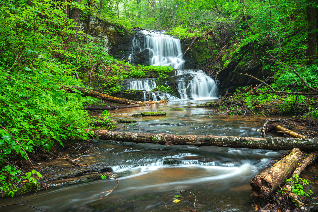
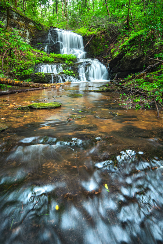
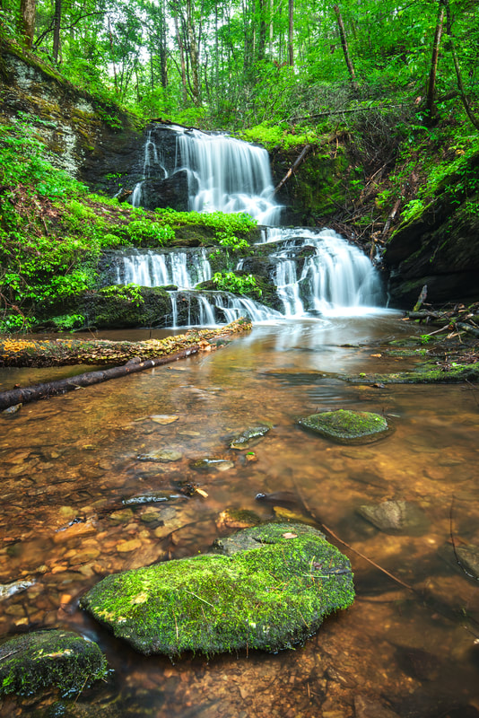
Rock Crusher Falls
Waterfall Info: This showy waterfall lies on a large tributary of the Conasauga River, slightly west of Murrays Lake. The creek is unnamed on topographic maps. However, it carries the historic name of Rock Crusher Creek, named for a former rock crusher once located near the present-day route of FR 17.
Height: 20 Feet
Type: Sheer Drops (Double-Tier)
County: Murray
Access Info: There are two ways to access this waterfall, and both involve moderately strenuous bushwhacking. The approach I used was from the loop trail encircling Murrays Lake, located at the end of FR 17B. It is possible to bushwhack northward along the ridge between the creek and the lake for about 0.35 mile, followed by a steep descent near the waterfall. The forest is relatively open but features patches of dense pine forest. Alternatively, you could hike an old forest road leading to a wildlife opening, starting along FR 17 at 0.9 mile south of Old Hwy 2. The bushwhack from the wildlife opening down to the falls is about 0.4 mile.
Waterfall Location: 34.940510, -84.675180

First in Georgia!
Get Mark's brand new
guidebook to 700+ falls.


