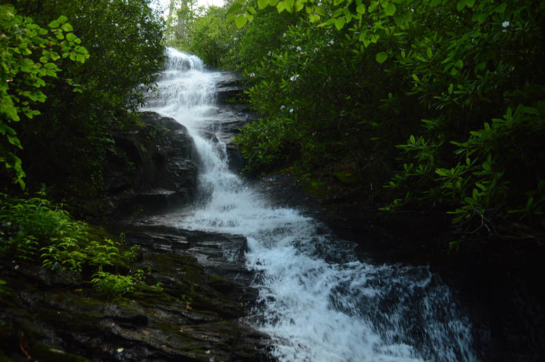
Rogers Branch Falls
Waterfall Info: This is the main waterfall on Rogers Branch, a small tributary of High Shoals Creek. Additional cascades lie above and below the main drop.
Landowner: Chattahoochee National Forest (Swallow Creek Wildlife Management Area)
Height: 80 Feet
Type: Free-Fall, Chute, & Stairstep Cascade (Triple-Tier)
County: Towns
Access Info: This waterfall is accessed by a short, faint path from a campsite near Indian Grave Gap Road (FS 283). The campsite is located at the end of a rough side road about 0.9 mile beyond the parking area for High Shoals Falls. The path rock hops Rogers Branch twice before descending an extremely steep slope to the base of the falls on the river-right side.
Waterfall Location: 34.809134, -83.722933
Click here for Mark Oleg's report with detailed access information

First in Georgia!
Get Mark's brand new
guidebook to 700+ falls.

