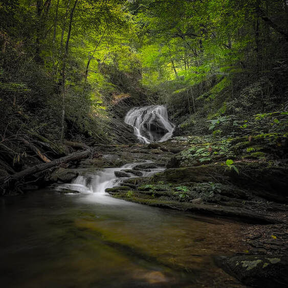
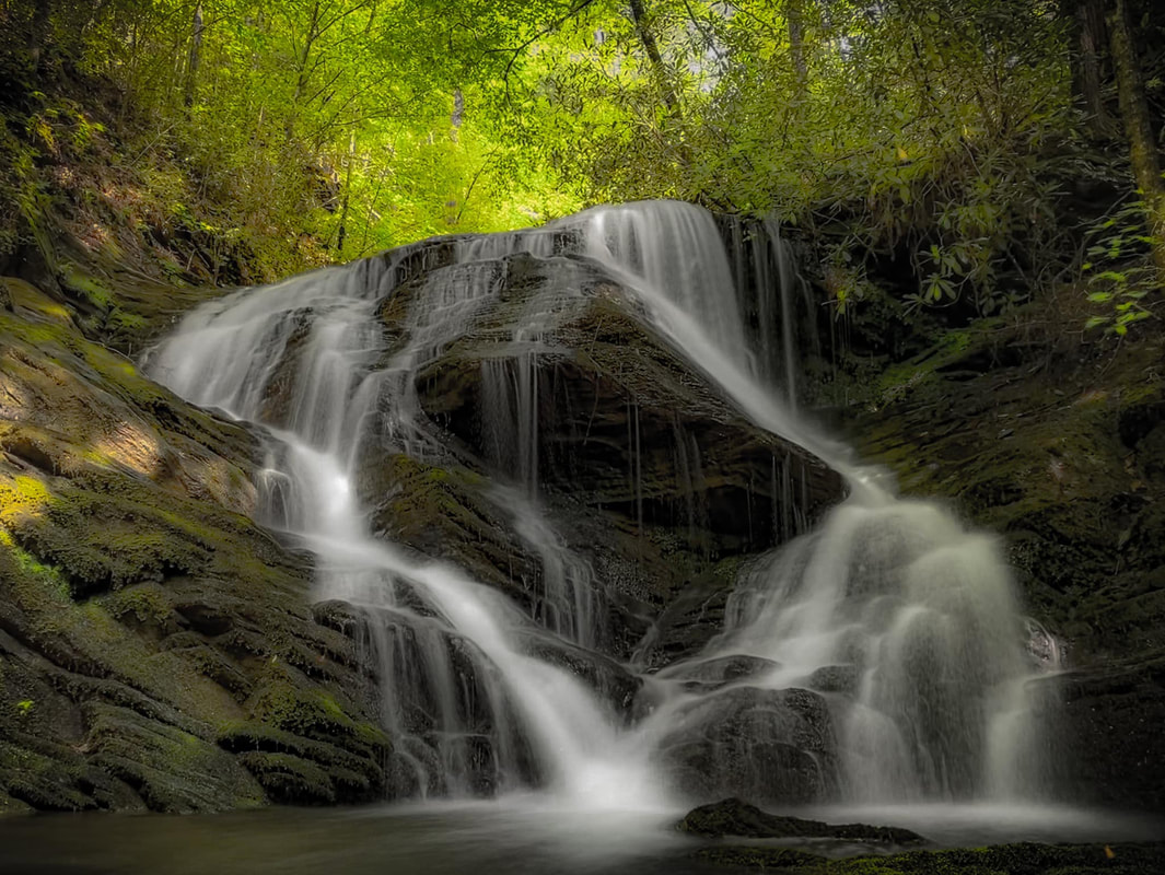
Rymer Falls
Waterfall Info: This is the only waterfall on North Prong Sumac Creek, which forms a substantial creek valley south of Old Highway 2. The waterfall is named after the Rymer family, who lived along the creek in the early 1900s.
Height: 20 Feet
Type: Sheer Drop (Single-Tier)
County: Murray
Access Info: Accessing this waterfall is tricky. From the Sumac Shooting Range off Old Highway 2, it is a 0.8-mile bushwhack and creekwalk, and this is probably the shortest route. However, that would require making it around the shooting range unscathed! The map shows a gated road, FR 148A, leading from Old Highway 2 and terminating atop the ridge directly north of Sumac Falls. This road begins next to a house among some private inholdings, and while there seems to be a slim Forest Service right-of-way, public access is questionable as of this writing. The best choice could be to bushwhack to FR 148A from Old Highway 2 and completely bypass the private inholdings. A faint path follows the north side of North Prong Sumac Creek downstream from the falls. Alternatively, it is possible to bushwhack to Sumac Falls from FR 17A, which follows a ridge south of North Prong Sumac Creek. The bushwhack from FR 17A is around a mile. Unfortunately, FR 17A is only open to vehicles on select dates during hunting season, and otherwise, you will need to walk an additional 1.5 miles along the road.
Waterfall Location: 34.931183, -84.709617

First in Georgia!
Get Mark's brand new
guidebook to 700+ falls.


