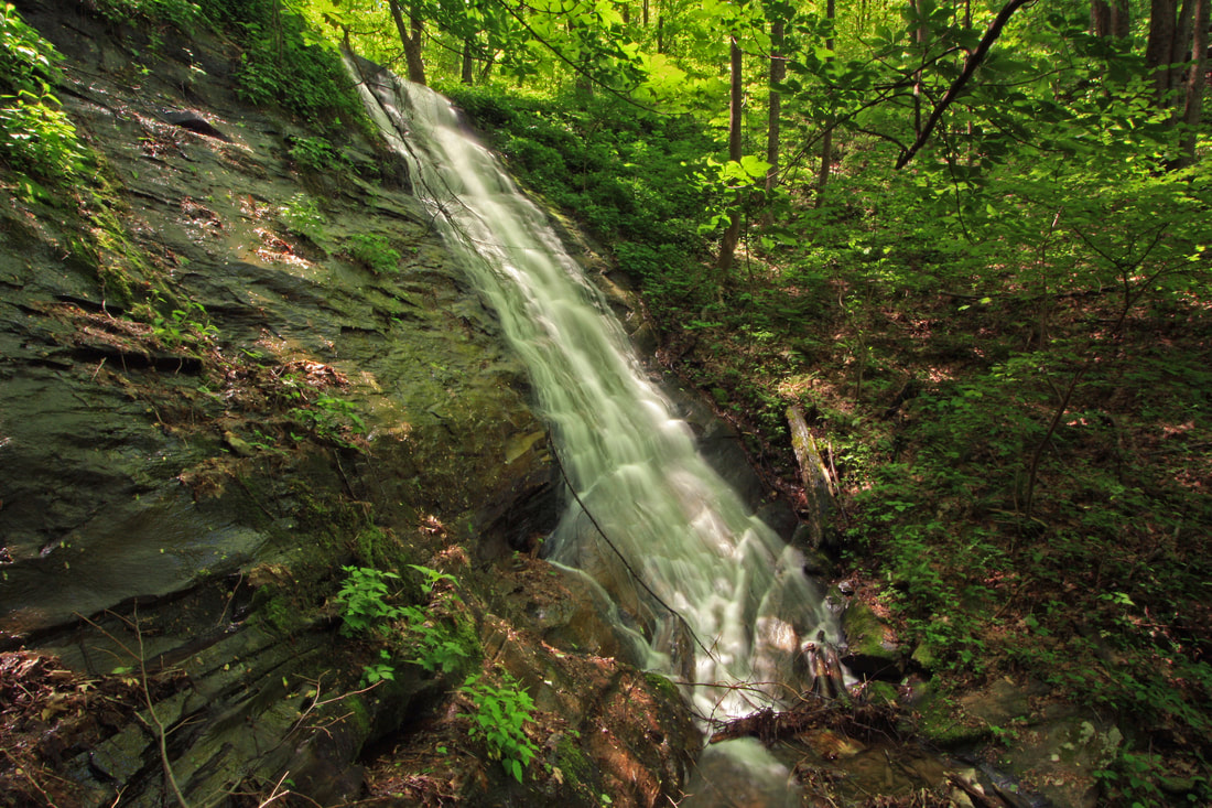
Stover Gap Falls
Waterfall Info: This waterfall is located on a small, unnamed tributary of Turniptown Creek flowing from Stover Gap.
Landowner: Chattahoochee National Forest (Rich Mountain Wilderness)
Height: 25 Feet
Type: Steep Slide (Single-Tier)
County: Gilmer
Access Info: The only public access is a long, strenuous bushwhack from Forest Road 338 that will probably not be worthwhile for most people. FR 338 is open to vehicles during spring and fall hunting seasons; at other times, it is gated at Rock Creek Road. There used to be access from Turniptown Road, but private property in the area is now gated and posted no trespassing.
Waterfall Location: 34.71342, -84.36914

First in Georgia!
Get Mark's brand new
guidebook to 700+ falls.

