Table Rock Falls (Little Mulberry Falls)
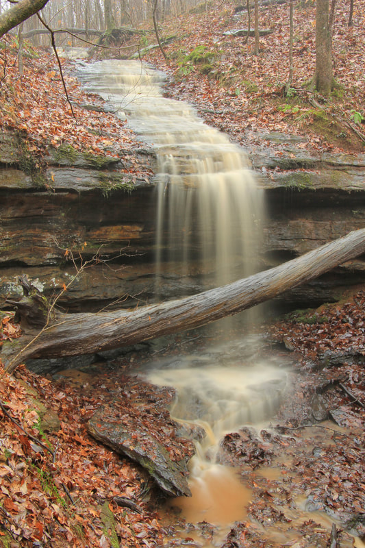
Photo during heavy rain by Alan Cressler
Waterfall Info: This is a wet-weather waterfall located near the headwater of a Little Mulberry River tributary within Little Mulberry Park. The waterfall is usually a trickle except after heavy rainfall.
Landowner: Little Mulberry Park
Height: 20 Feet
Type: Stairstep Cascade & Free-Fall (Double-Tier)
County: Gwinnett
Access Info: Starting at the Fence Road trailhead in Little Mulberry Park, take the paved multi-use West Meadow Trail westward. After 0.2 mile, turn left on the Ravine Loop Trail, a paved hiking trail. In another 0.2 mile, continue straight at a junction where the loop part of the Ravine Trail begins. Then, in 0.1 mile, turn left on a gravel side trail to the Ravine Overlook, which provides an elevated view of Table Rock Falls through the trees in the ravine below. A steep, unofficial path leads to the base.
Waterfall Location: 34.042168, -83.884567

First in Georgia!
Get Mark's brand new
guidebook to 700+ falls.