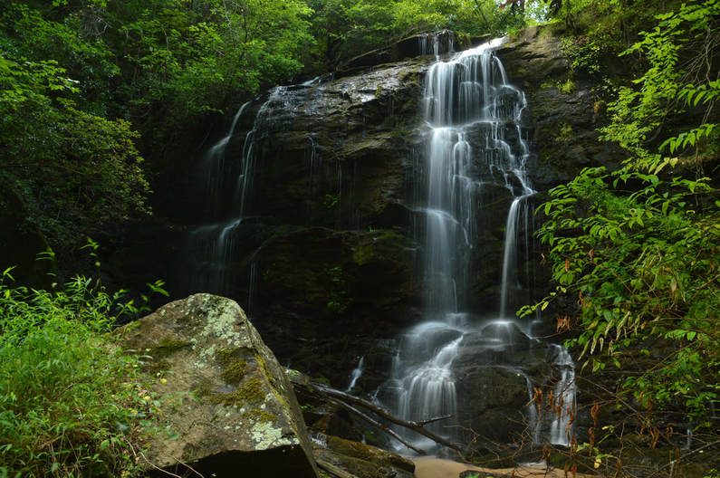
Tabor Falls
Waterfall Info: This beautiful waterfall is the first of three waterfalls (from the top) on an unnamed tributary of the Middle Fork Broad River, flowing into the river from the west at the north end of Brown Bottoms.
Landowner: Chattahoochee National Forest (Lake Russell Wildlife Management Area)
Height: 50 Feet
Type: Sheer Drop (Single-Tier)
County: Habersham
Access Info: This waterfall is accessed by a 1-mile unofficial trail from the gate at the end of Sellers Road. As of November 2023, a logging project has significantly changed the character of the hike. The first part of the hike follows FS 89A. After a quarter-mile, you should turn right on a new logging road (formerly an unmarked trail). The logging road is hard to walk along because of numerous tree trunks put down for erosion control. In another quarter mile, at the bottom of the hill, go to the right and find the old footpath to Tabor Falls behind a bunch of downed pine branches. The rest of the trail to the falls is easier to hike, except for a steep downhill scramble at the end.
*Consider hiking an alternate unmarked trail to Tabor Falls that begins along FR 191 (Georgia Mountain Orchard Road) at 34.534684, -83.461247. The trail leads to the creek crossing just above the falls.
Waterfall Location: 34.53669, -83.44927
Click here for Mark Oleg's report with detailed access information

First in Georgia!
Get Mark's brand new
guidebook to 700+ falls.

