Tom White Branch Falls
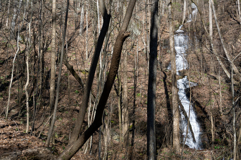
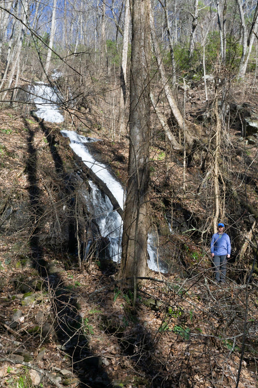
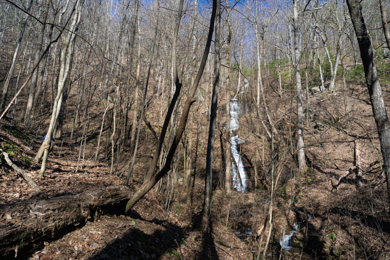
Waterfall Info: This is a long series of drops on the southeast side of Horse Range Mountain, in the headwaters of Tom White Branch at the 2,100-foot level. Although the waterfall is quite large, it is hard to see all at once, especially the closer you get to the base. The view is likely to be poorer in summer when all the trees are fully leafed out.
Landowner: Chattahoochee National Forest
Height: 150 Feet
Type: Series of Sliding Cascades (Multi-Tier)
County: White
Access Info: This falls is accessed by an old logging road that follows the south side of Tom White Branch for 3/4 mile from FS 672 (Barker Trail Road). The road may be gated, especially in winter, requiring a longer hike.
Waterfall Location: 34.654021, -83.819984
Click here for Bernie Boyer's report with detailed access information

First in Georgia!
Get Mark's brand new
guidebook to 700+ falls.


