Turninglathe Branch Falls
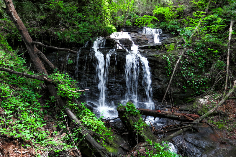
Photo by Bernie Boyer
Waterfall Info: This is a small but scenic waterfall on Turninglathe Branch, a tributary of Cane Creek.
Landowner: Chattahoochee National Forest
Height: 15 Feet
Type: Free-Fall & Cascade (Double-Tier)
County: Lumpkin
Access Info: Follow old forest roads from FS 55 (Grassy Gap Road) to reach Turninglathe Branch Falls. The roads can be slightly overgrown in the summer.
Waterfall Location: 34.614375, -84.026836
Click here for Bernie Boyer's report with detailed access information

First in Georgia!
Get Mark's brand new
guidebook to 700+ falls.