Upper Anthony Falls
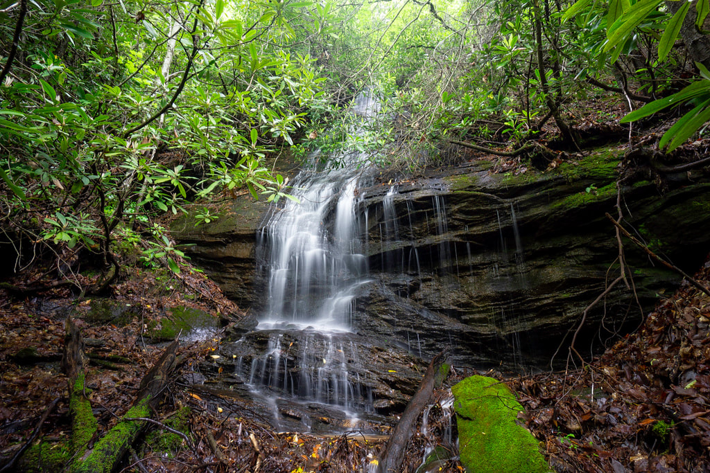
Photo by Bernie Boyer
Waterfall Info: Located at the 2,640-foot level, this is the upper of two large waterfalls on an unnamed tributary of Devils Branch (not shown on topo maps), flowing from the northeast from the slopes of Billy Mountain. There is another drop (about 25 feet high) in between Anthony Falls and Upper Anthony Falls (at the 2,480-foot level) that could be treated as Middle Anthony Falls, but it is hard to see, mostly enshrouded in rhododendron and deadfall (see photo below).
Landowner: Chattahoochee National Forest
Height: 35 Feet
Type: Slide & Sheer Drop (Double-Tier)
County: Rabun
Access Info: A well-defined trail along an old logging road begins on Devils Branch Road at a gap between Devils Branch and Little Creek. The trail passes within 200 feet of Upper Anthony Falls, which is located a short bushwhack above the trail. Getting to the middle drop requires a longer bushwhack.
Waterfall Location: 34.913333, -83.478579
Click here for Bernie Boyer's report with detailed access information
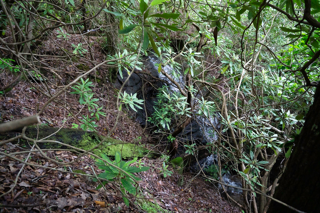
Small waterfall at the 2,480-foot level below Upper Anthony Falls. Photo by Bernie Boyer

First in Georgia!
Get Mark's brand new
guidebook to 700+ falls.