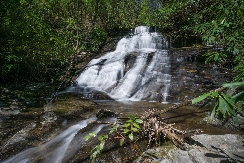
Upper Chattahoochee River Falls
Waterfall Info: This secluded waterfall is the uppermost waterfall on the Chattahoochee River and is in the river's headwaters area.
Landowner: Chattahoochee National Forest (Mark Trail Wilderness)
Height: 25 Feet
Type: Sliding Cascade (Double-Tier)
County: Union
Access Info: Follow the well-used Horsetrough Falls Trail from the end of Upper Chattahoochee River Campground to a footbridge across the Chattahoochee River. Take the path that begins across the river and runs up its west side (River Right). The path continues for over a mile (through a wildlife clearing along the way) before ending around a quarter-mile from the falls. The rest of the way is a relatively easy creek-walk upstream to the falls.
Waterfall Location: 34.807960, -83.792057
Click here for Bernie Boyer's report with detailed access information

First in Georgia!
Get Mark's brand new
guidebook to 700+ falls.

