Upper DeSoto Falls
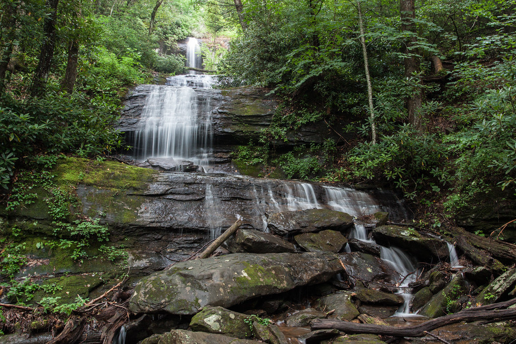
Photo by Bernie Boyer
Waterfall Info: This is one of several waterfalls in the DeSoto Falls Scenic Area. It's on an unnamed tributary of Frogtown Creek that flows from Cedar Mountain. Upper DeSoto Falls used to be known as Middle DeSoto Falls, but that was back when the real Upper DeSoto Falls was known as the waterfall on the next tributary to the north. The trail to that waterfall isn't maintained any longer, and that waterfall is now known as Old DeSoto Falls.
Landowner: Chattahoochee National Forest (Chestatee Wildlife Management Area)
Height: 120 Feet
Type: Free-Fall & Slides (Multi-Tier)
County: Lumpkin
Access Info: Upper DeSoto Falls is accessed by a well-maintained Upper DeSoto Falls Trail from DeSoto Falls Trailhead off US 129.
Waterfall Location: 34.717104, -83.915816
Click here for Bernie Boyer's report with detailed access information

First in Georgia!
Get Mark's brand new
guidebook to 700+ falls.