Upper Jungle Cliff Falls
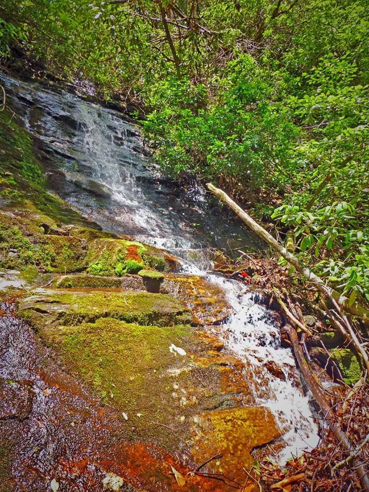
Photo by Greg Ford
Waterfall Info: Coming from the top, this is the first waterfall on an unnamed High Shoals Creek tributary, which drops steeply down from the northeast side of Rocky Mountain and reaches High Shoals Creek from the west, just north of the Maple Spring Branch confluence. The stream is marked on topo maps, but the falls is still best seen in wet weather.
Landowner: Chattahoochee National Forest (Swallow Creek Wildlife Management Area)
Height: 20 Feet
Type: Sheer Drop (Single-Tier)
County: Towns
Access Info: Park along Indian Grave Gap Road (FS 283) where it crosses the unnamed stream, and bushwhack a short distance down the north side of the creek to the falls. This waterfall is very close to the road and is much easier to reach than the middle falls and main falls on this stream.
Waterfall Location: 34.80437, -83.72033

First in Georgia!
Get Mark's brand new
guidebook to 700+ falls.