Upper Spoilcane Falls
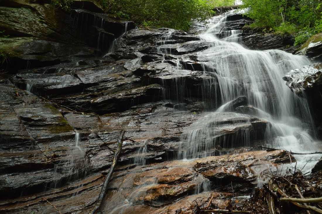
Isolation photo of the falls by Mark Oleg
Waterfall Info: This is the uppermost and biggest waterfall on Spoilcane Creek. It consists of a long series of steep drops, and not all of the waterfall can be seen from the base. The full waterfall is best viewed from a distance in winter.
Landowner: Chattahoochee National Forest (Chattahoochee Wildlife Management Area)
Height: 180 Feet
Type: Cascades, Drops, & Slides (Multi-Tier)
County: White
Access Info: An unofficial trail along an old road leads from Highway 75 to Spoilcane Creek below the falls, from where you can scramble up the creek to the falls.
Waterfall Location: 34.791537, -83.744568
Click here for Mark Oleg's report with detailed access information
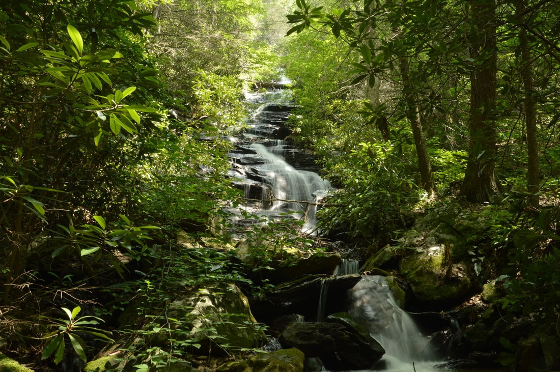
A broader view of the waterfall by Mark Oleg

First in Georgia!
Get Mark's brand new
guidebook to 700+ falls.