Upper Tanglewood Falls
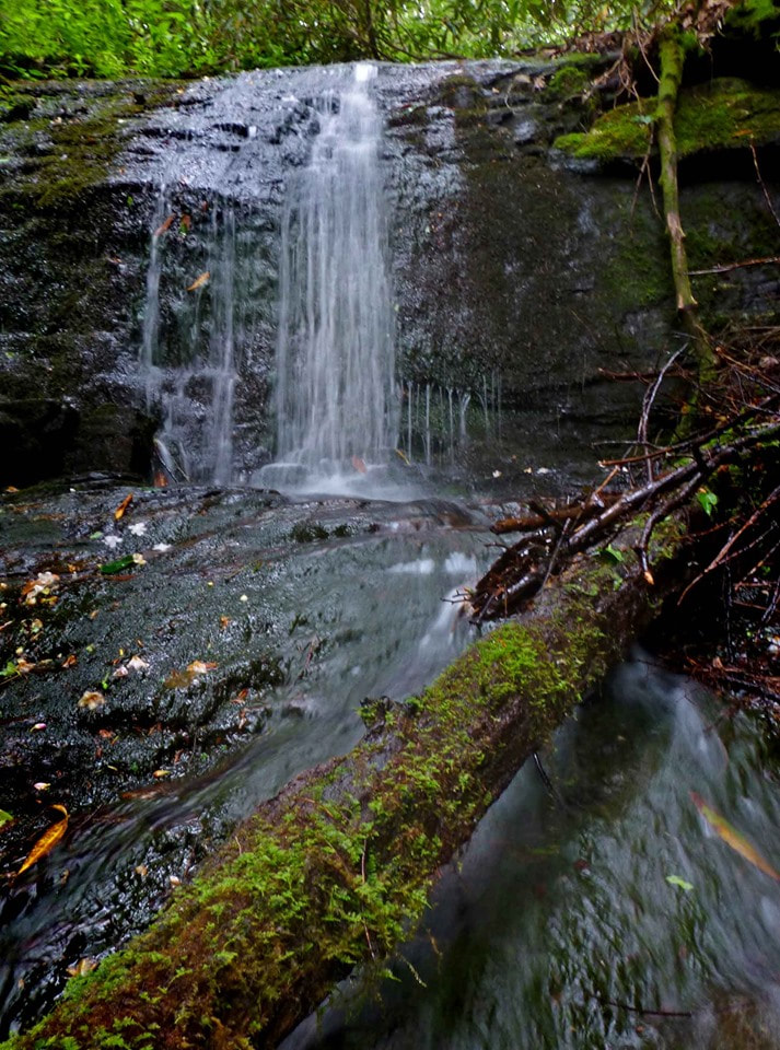
Photo by Greg Ford
Waterfall Info: This small waterfall is the upper drop on an unnamed tributary of Right Fork Nottely River just north of White Oak Stamp Branch.
Landowner: Chattahoochee National Forest (Mark Trail Wilderness)
Height: 15 Feet
Type: Sheer Drop & Slide (Double-Tier)
County: Union
Access Info: An old roadbed follows North Fork Nottely River from Highway 348. You will need to make a short bushwhack up the drainage of this unnamed stream to reach the waterfall.
Waterfall Location: 34.74348, -83.84096

First in Georgia!
Get Mark's brand new
guidebook to 700+ falls.