Upper Walnut Fork Falls
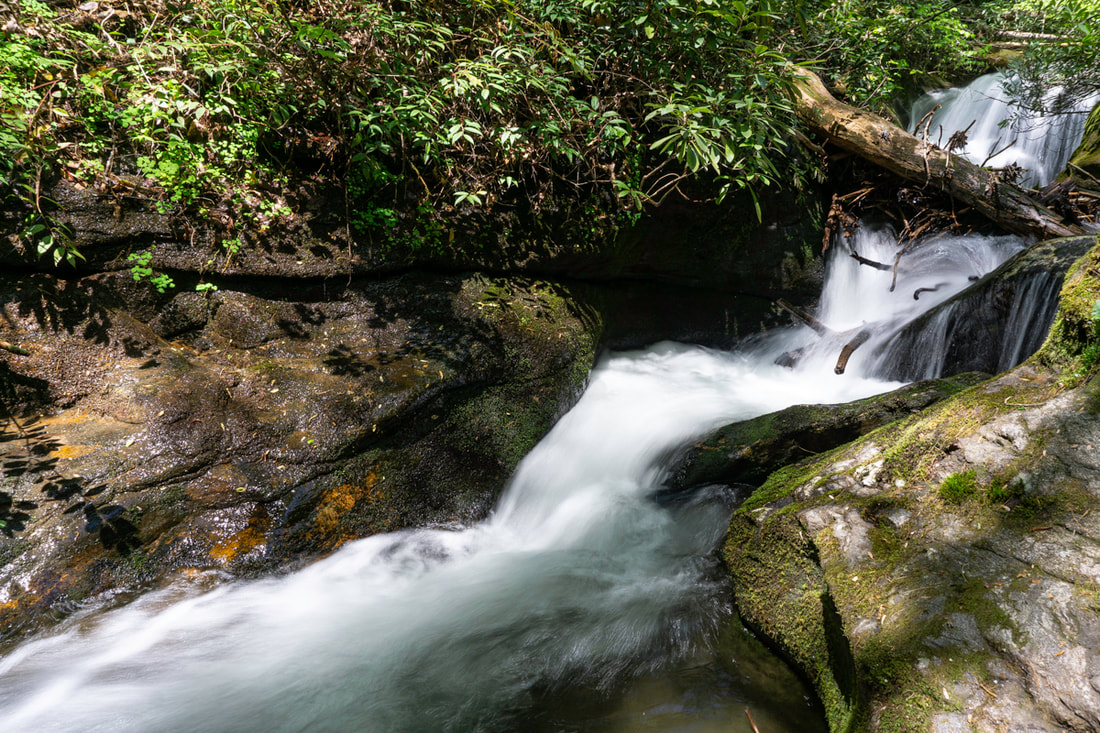
Photo by Bernie Boyer
Waterfall Info: This is a steep set of cascading drops on the upper reaches of Walnut Fork at the 2,500-foot level. I hesitate to identify this as a waterfall, but it's very prominent on Google Earth and still a fairly impressive sight. A short distance below the falls, you will pass a partial view of a waterfall at the lower end of an unnamed tributary dropping steeply into Walnut Fork from the west. This drop, while large, is entirely overgrown and is essentially impossible to photograph from the bottom (see picture below).
Height: 25 Feet
Type: Series of Cascades (Multi-Tier)
County: Rabun
Access Info: The gated FS 155A begins where FS 155 (Walnut Fork Road/Wilson Gap Road) crosses Walnut Fork. FS 155A travels far upstream through the Walnut Fork gorge and passes within earshot of this waterfall. A short bushwhack will bring you to the base.
Waterfall Location: 34.942305, -83.292759
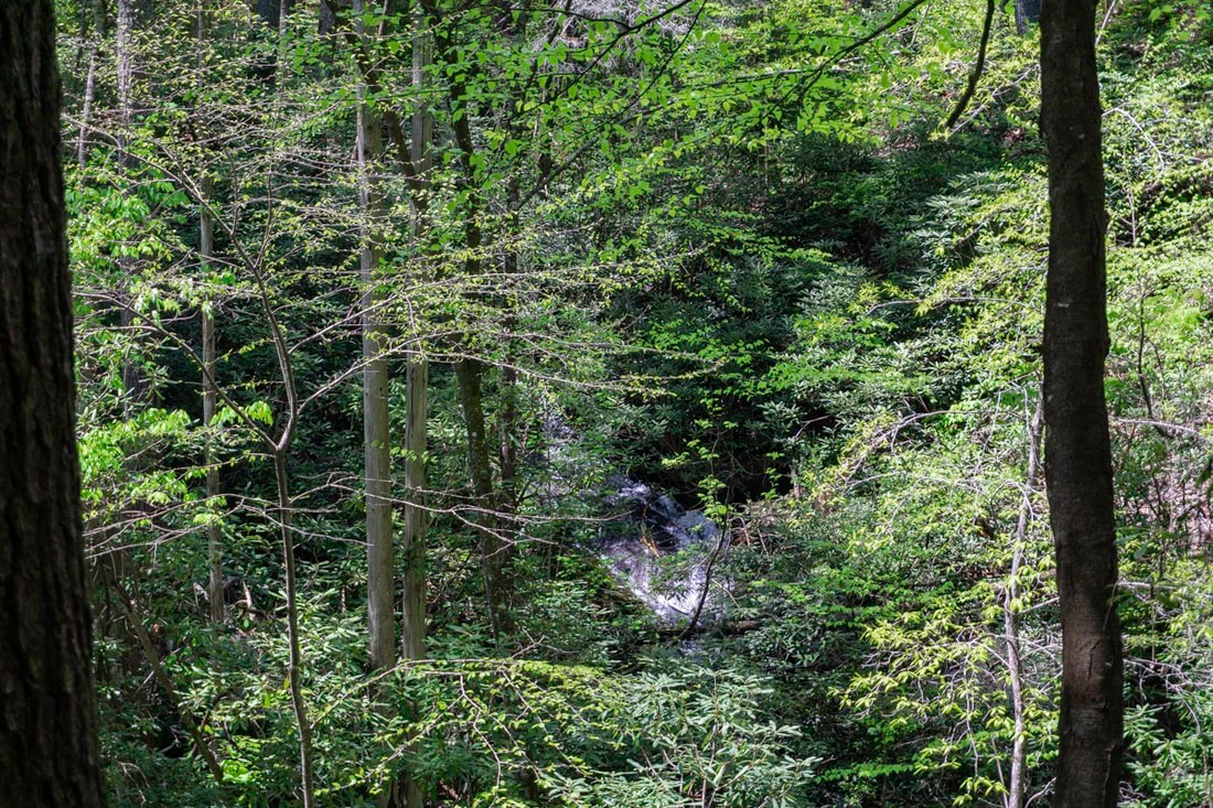
View of overgrown waterfall on tributary of Walnut Fork, seen along FS 155A. Photo by Bernie Boyer

First in Georgia!
Get Mark's brand new
guidebook to 700+ falls.