Upper Worser Creek Falls
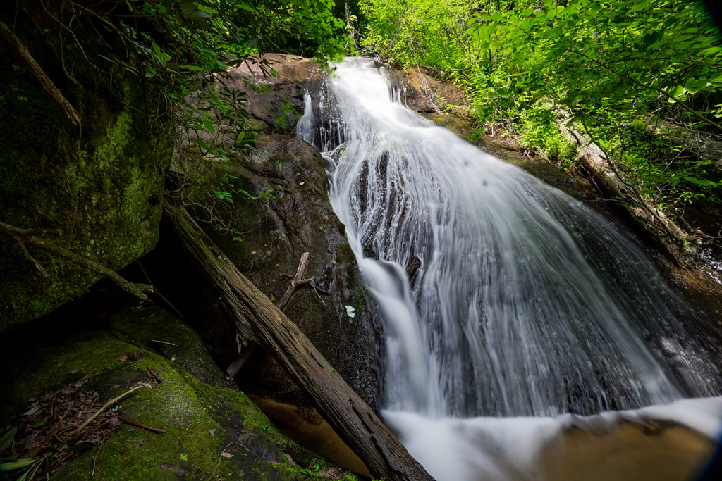
Photo by Bernie Boyer
Waterfall Info: From the top, this is the first of three scenic waterfalls on Worser Creek, in addition to the many other small, cluttered waterfalls found on this extremely steep creek. Worser Creek is unnamed on topo maps. However, a historical book on the area indicates that "Wusser" (or Worser) Creek is the original name of this stream.
Landowner: Chattahoochee National Forest
Height: 20 Feet
Type: Slide (Single-Tier)
County: Rabun
Access Info: This waterfall is accessed by a confusing cross-country hike from Camp Creek Road (FS 513), involving both old logging roads and strenuous bushwhacking.
Waterfall Location: 34.750258, -83.336793
Click here for Bernie Boyer's report with detailed access information

First in Georgia!
Get Mark's brand new
guidebook to 700+ falls.