White Diamond Falls
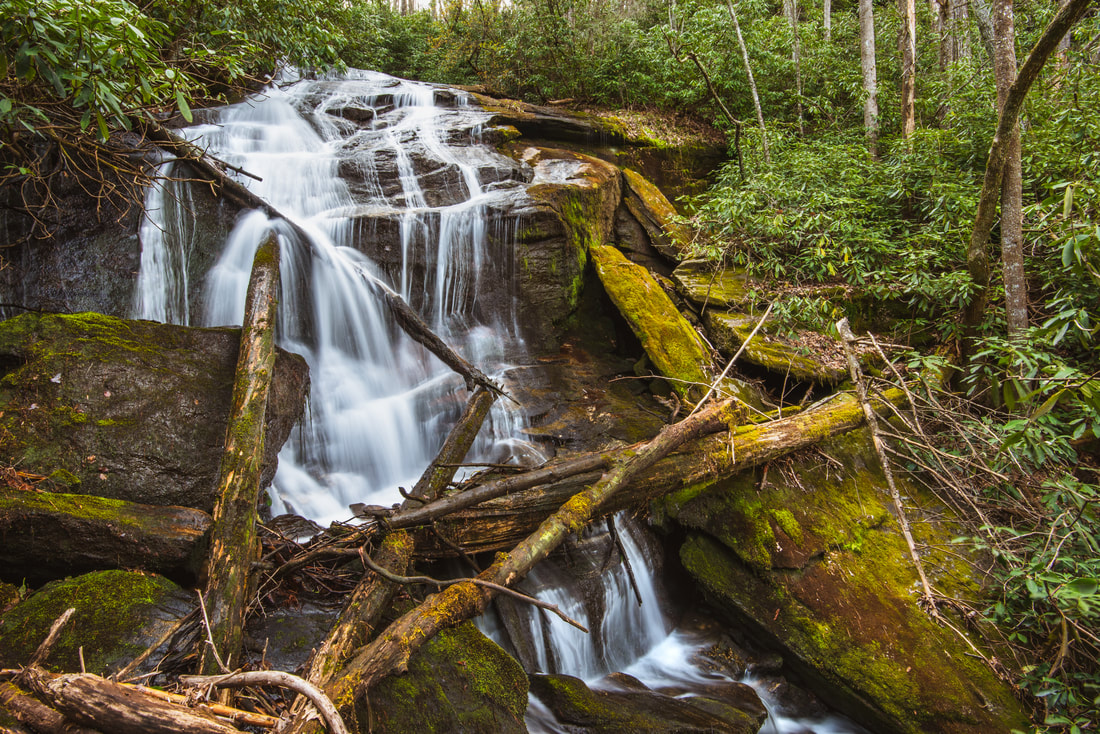
Photo of lower section by Mark Oleg
Waterfall Info: This is the first of four waterfalls located on Holcomb Creek in its headwaters. The waterfall consists of two distinct sections. You cannot see the upper section from the base - see the pic below. Also, the lower section is larger than it appears from the base, because of the waterfall's sliding slant.
Landowner: Chattahoochee National Forest
Height: 80 Feet
Type: Sheer Drop and Free-Fall (Double-Tier)
County: Rabun
Access Info: This falls is accessed by a strenuous cross-country off-trail hike from Hale Ridge Road (FS 7). There are various old logging roads and paths that can be utilized most of the way, and the path becomes more obvious as you get closer to the waterfall. Also, an old forest road that leaves at a sharp curve in FS 7 above Holcomb Creek that is a good starting point for the hike. I highly recommend using a GPS to navigate to the falls as well as the directions at the link below.
Waterfall Location: 34.982050, -83.291170
Click here for Bernie Boyer's report with detailed access information
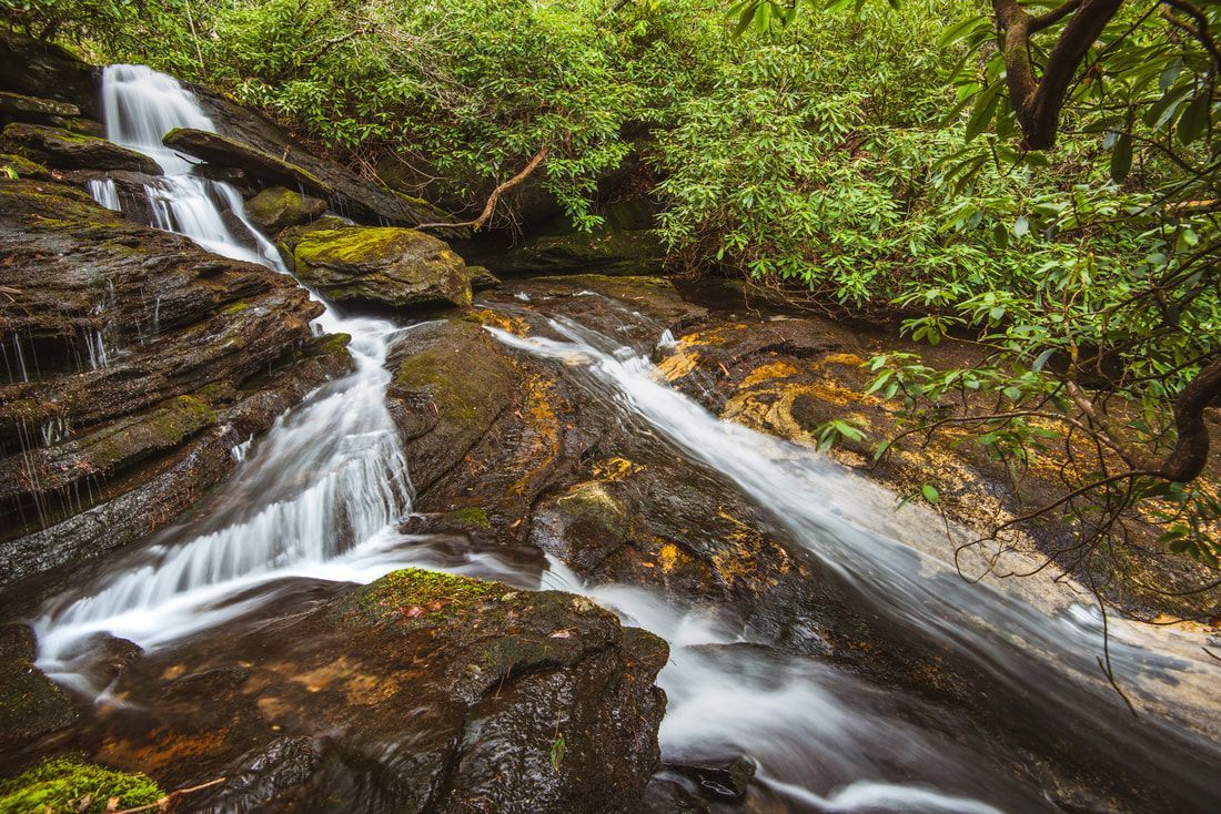
Photo of upper section by Mark Oleg

First in Georgia!
Get Mark's brand new
guidebook to 700+ falls.